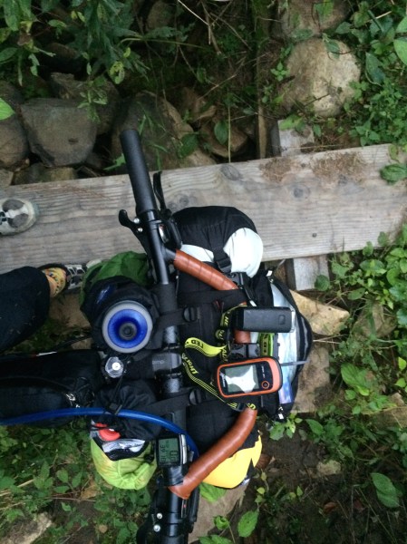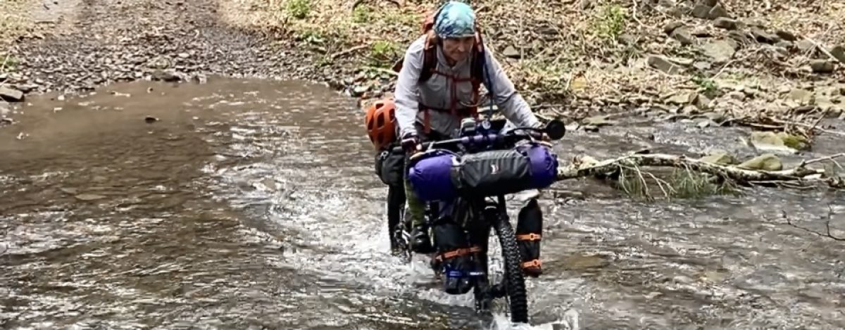
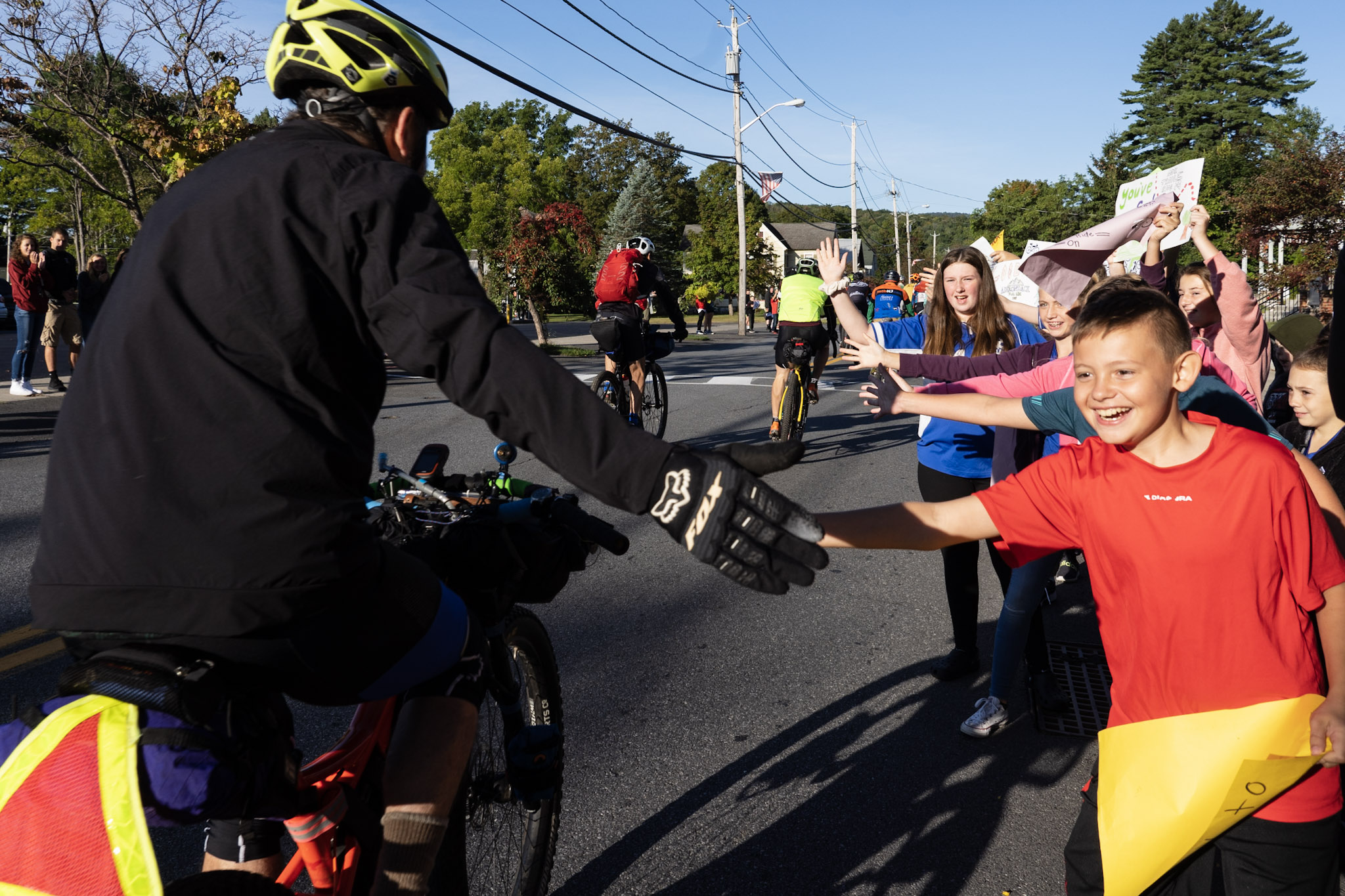
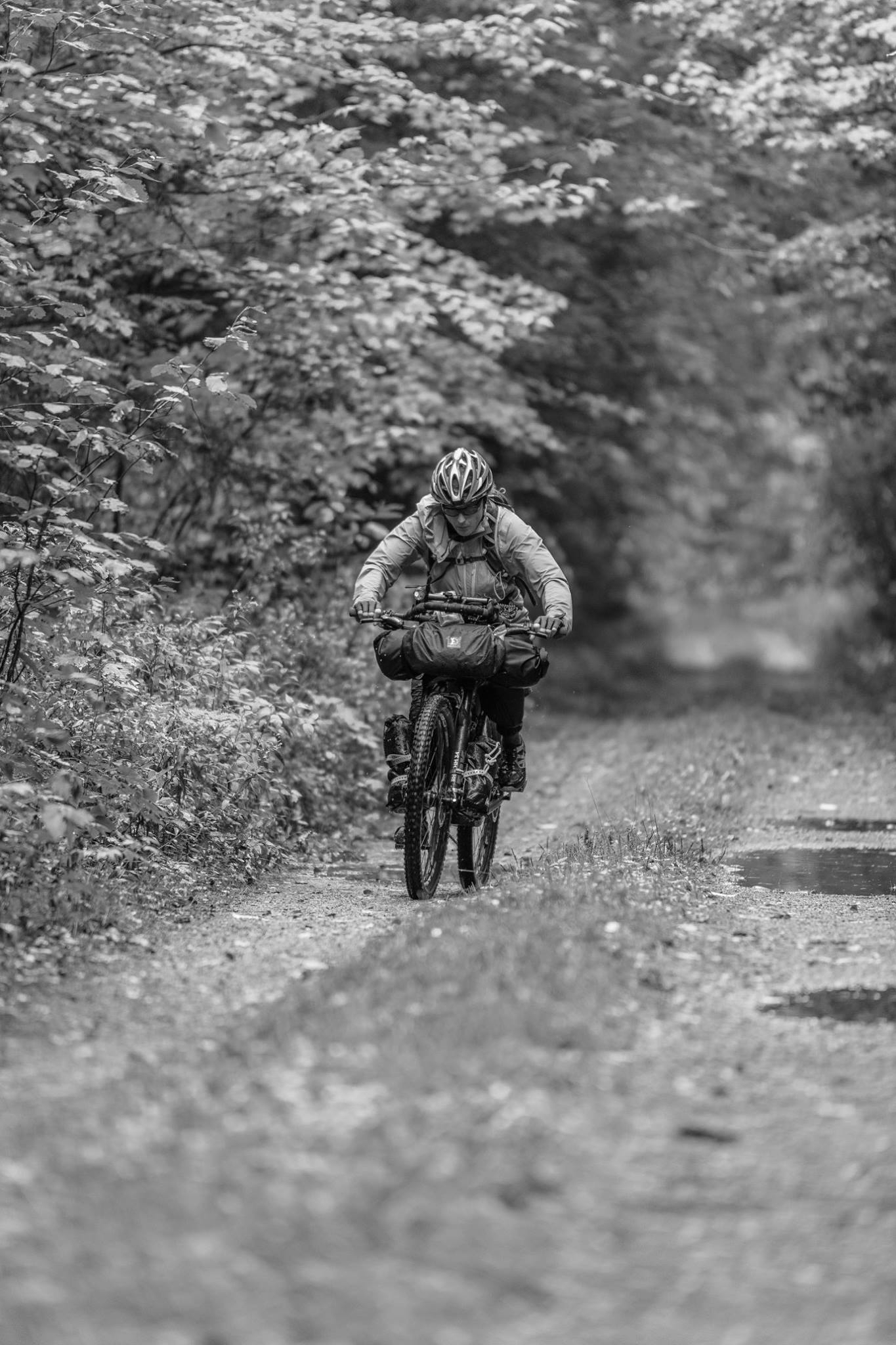
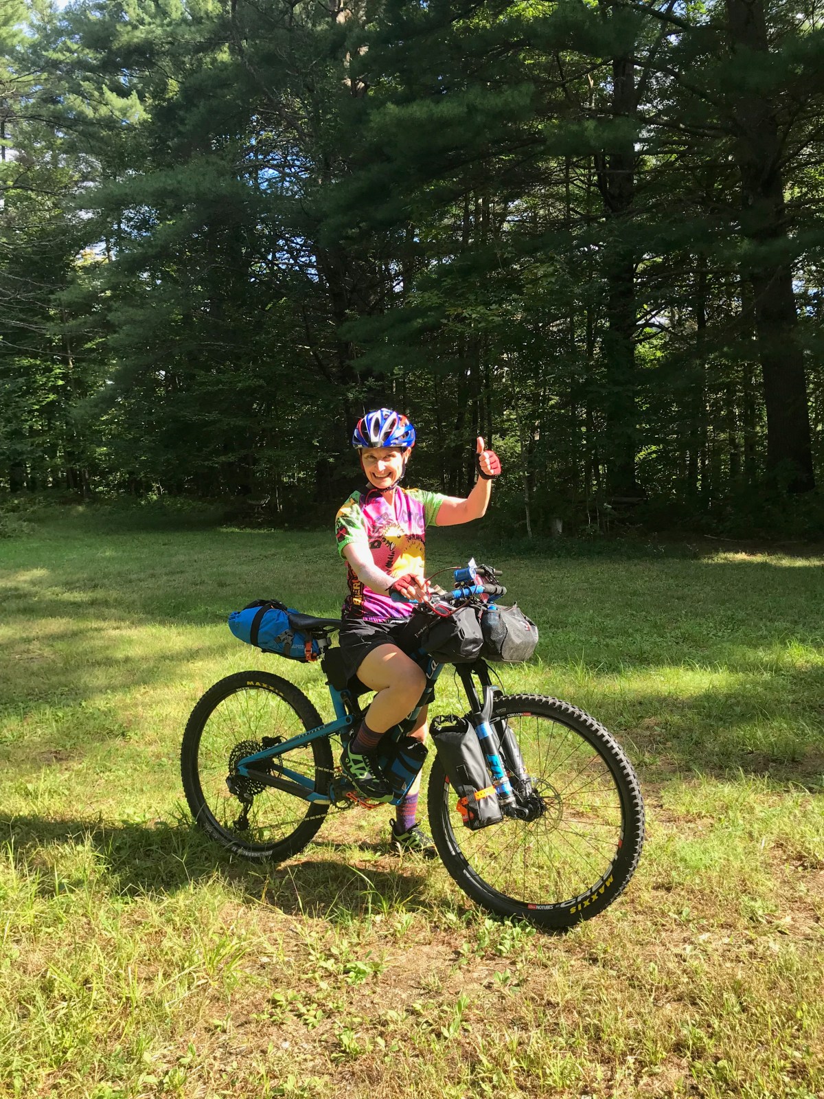
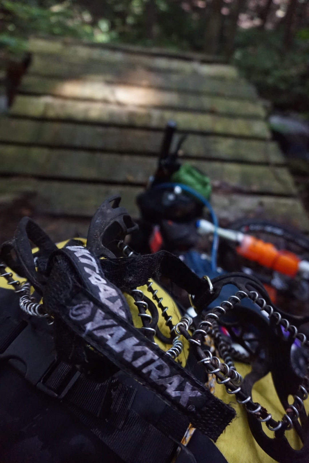
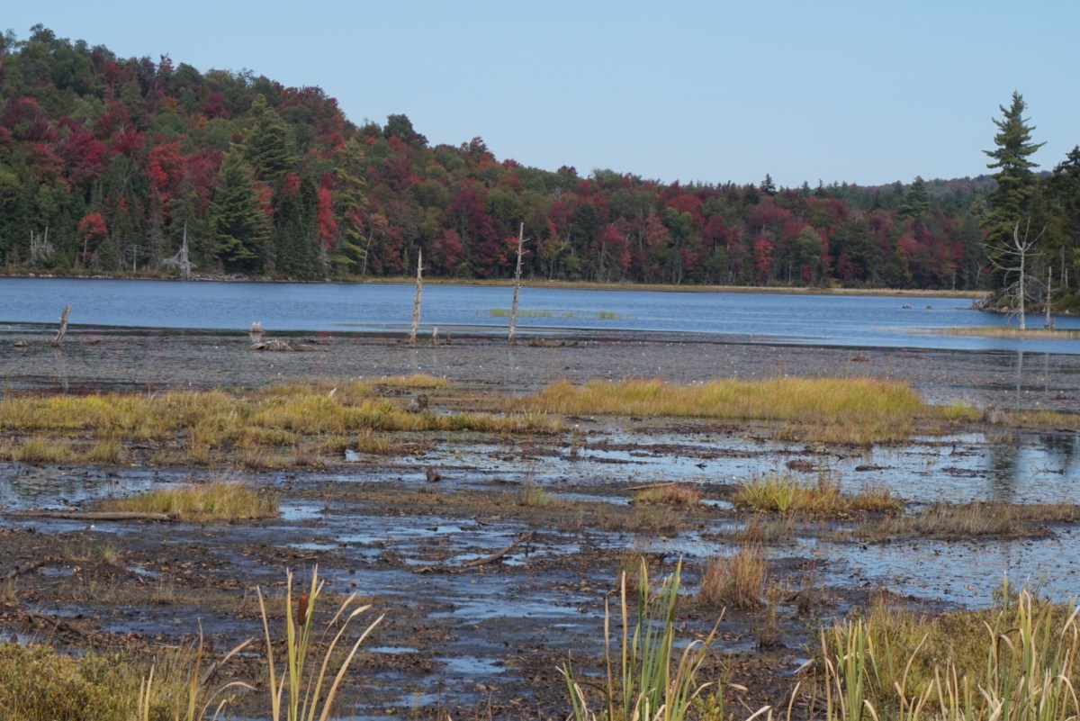
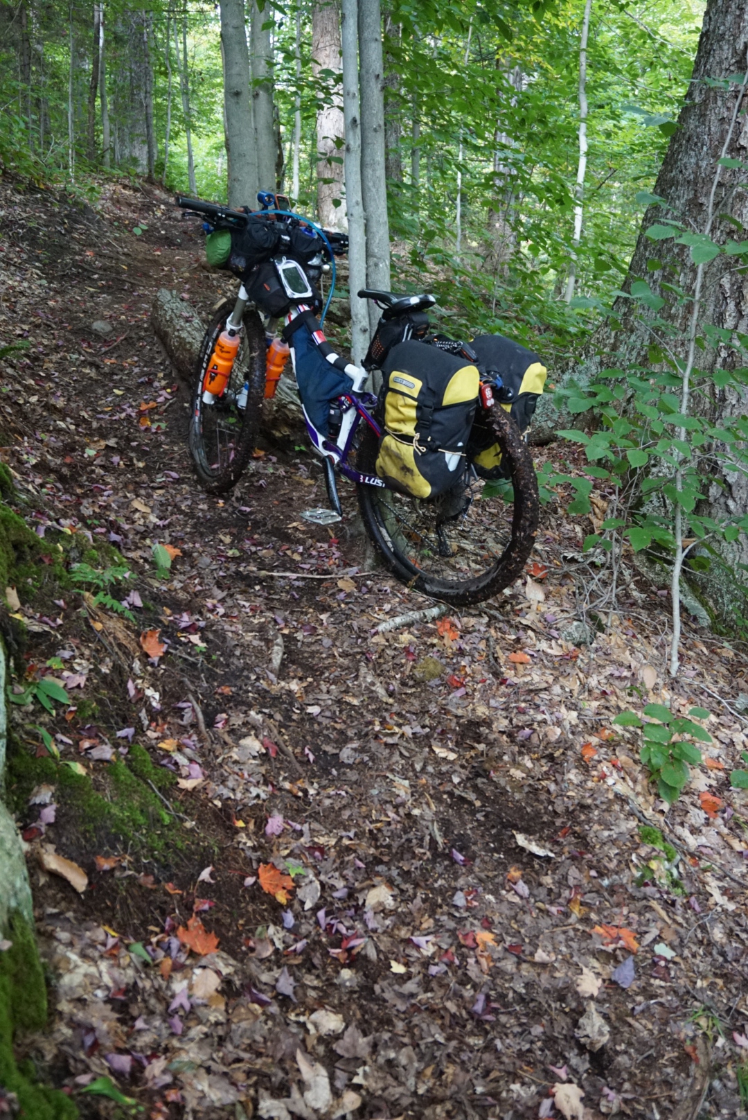
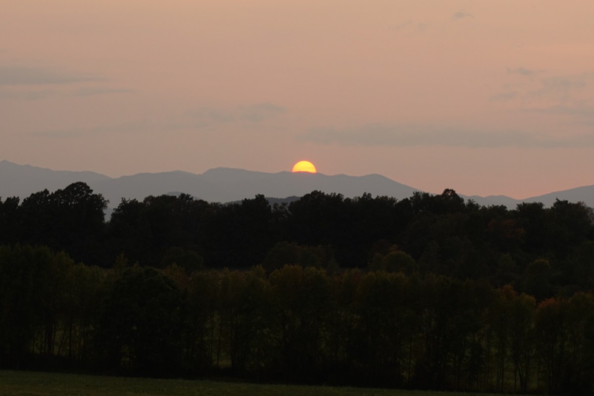
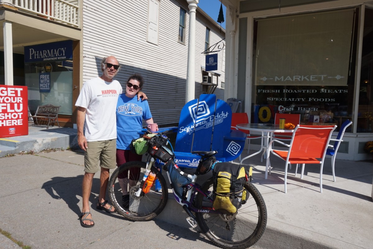
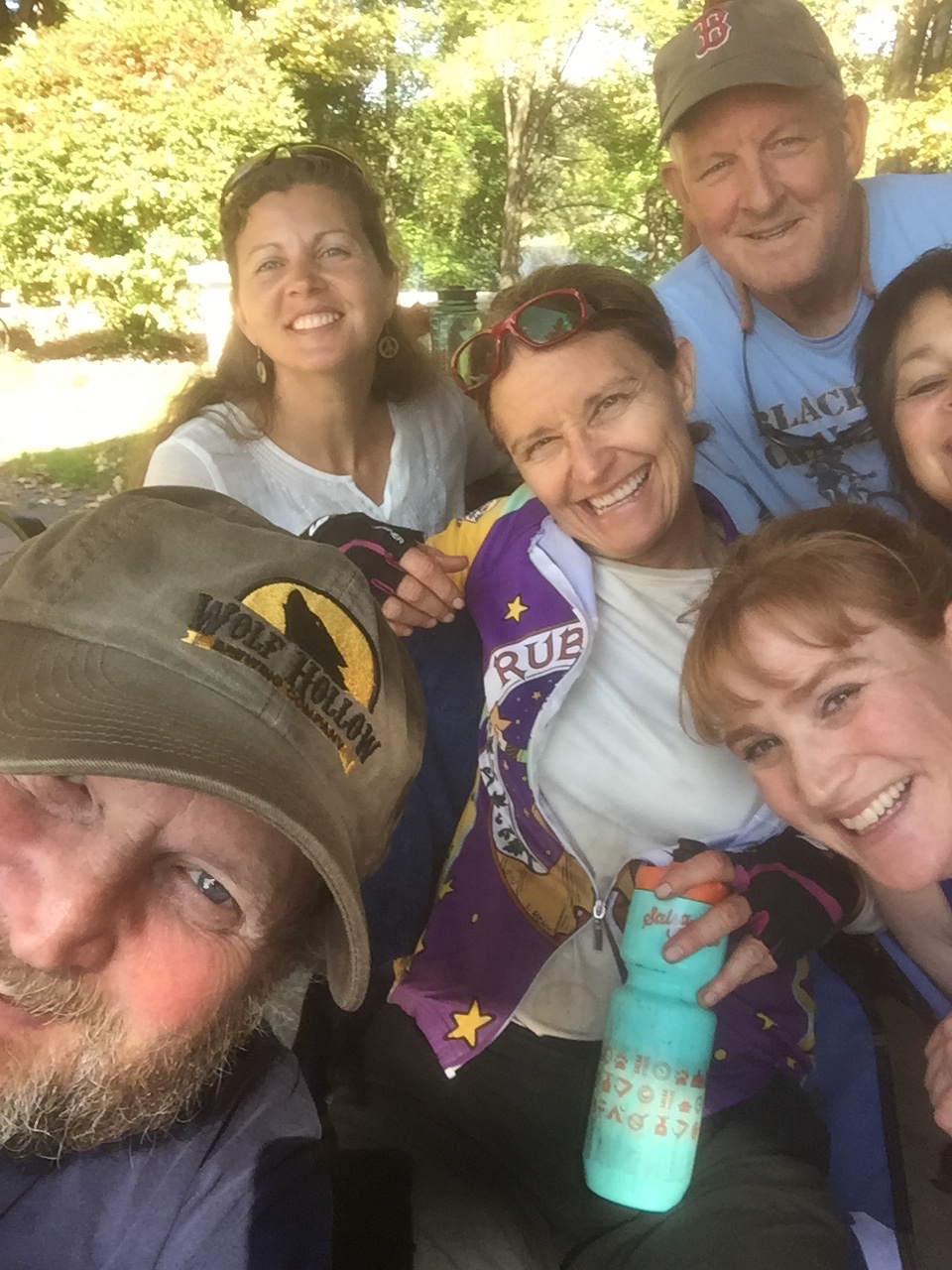
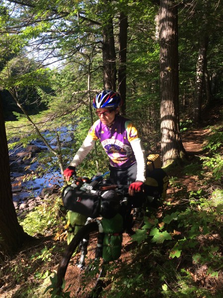
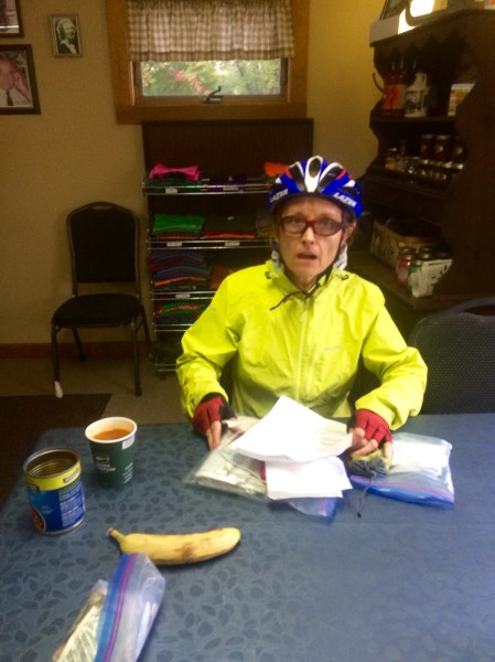
(This & the photo at the top by Eric Teed.)
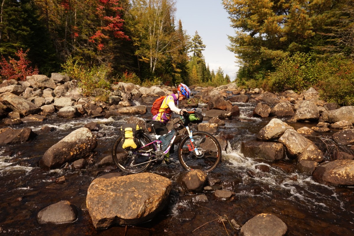
Day 1: I have a mechanical in the Murphy Lake Trail, about a mile from crossing Pumpkin Hollow Road. I limp my bike out to the road where a good Samaritan on this dead-end gets my chain and gears working together again. Whew! My friend Shannon surprises me at this point by coming out to ride for the weekend with me.
The Good: No leg cramps in my traditional spot at mile 35!
The Bad: Mechanical with my chain and gears…but a good Samaritan on a dead-end road fixes it!
Day 2: Drizzly damp day to complete the Pine Orchard Trail, pedal though Griffin Gorge and on to the logging roads. I arrive in Speculator about 3 pm but am too chilled and tired to continue when the Cedarhurst Motel has a room.
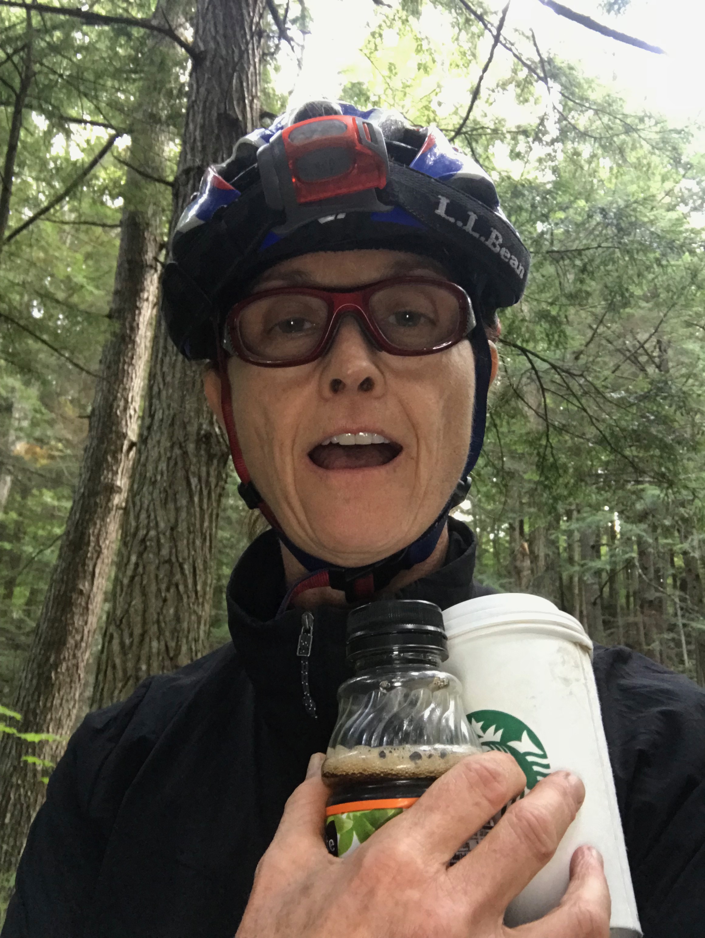
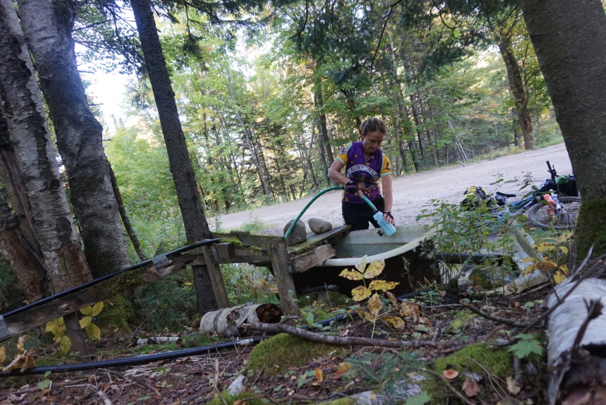
The Good: I have 2 day-old coffee for my break at the Jimmy Creek water filtering spot!
The Bad: Only make it to Speculator on this chilly damp day.
Day 3: An early start and long day land me in Inlet. Shannon leaves me shortly before Wakely Dam and I continue on. Again, too tired to continue to my Plan A destination of Marion & Joe’s Stillwater Hotel so I stay in a very expensive motel.
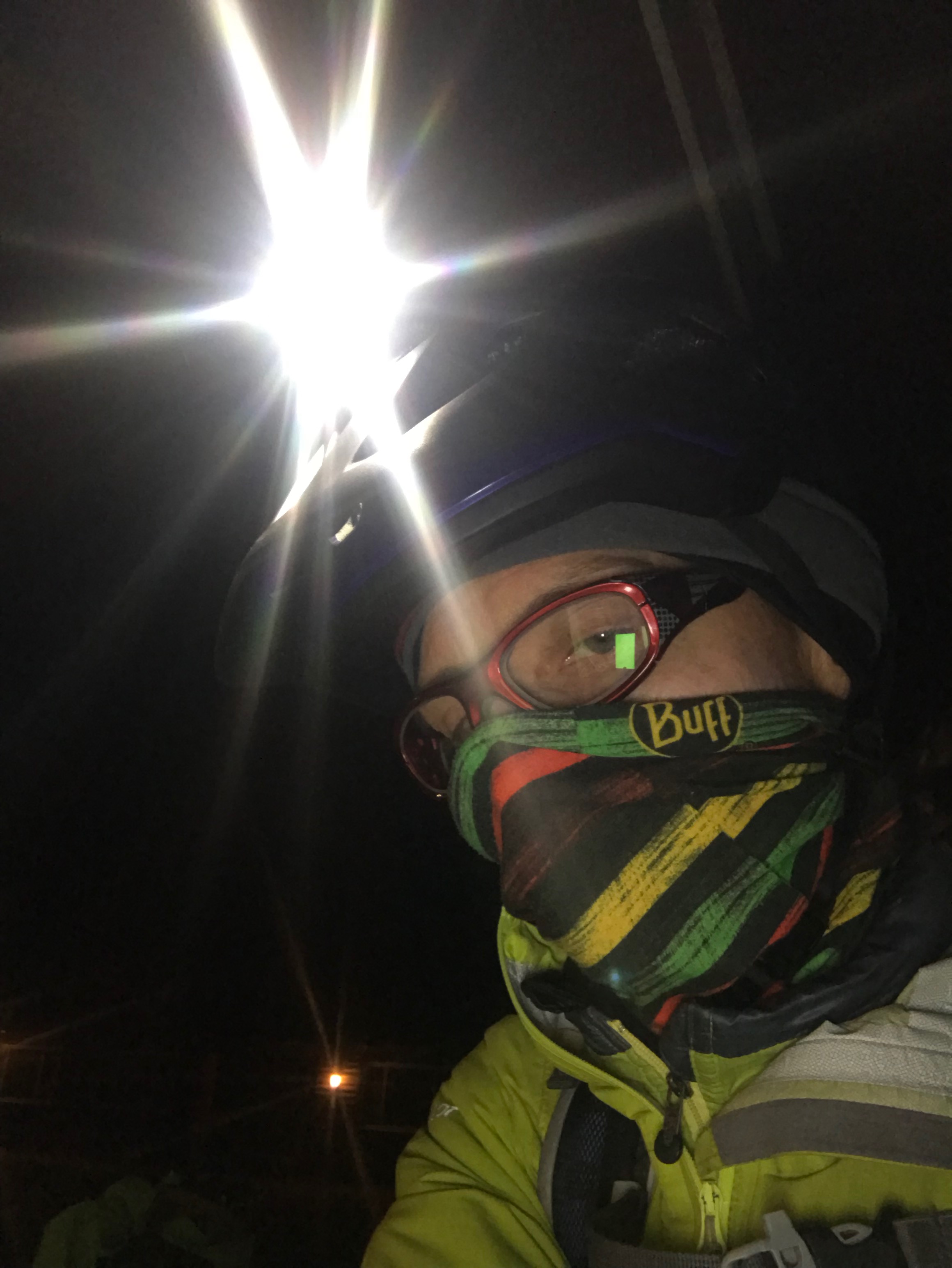
The Good: As I’m biking in the dark through the Moose River Plains, an enormous bird swoops down in front of me and leads the way for several minutes. My lights on my helmet and handlebars seem to give him the line he wants as he travels about 10 feet in front of me. Friends later say it was likely a Great Horned Owl!
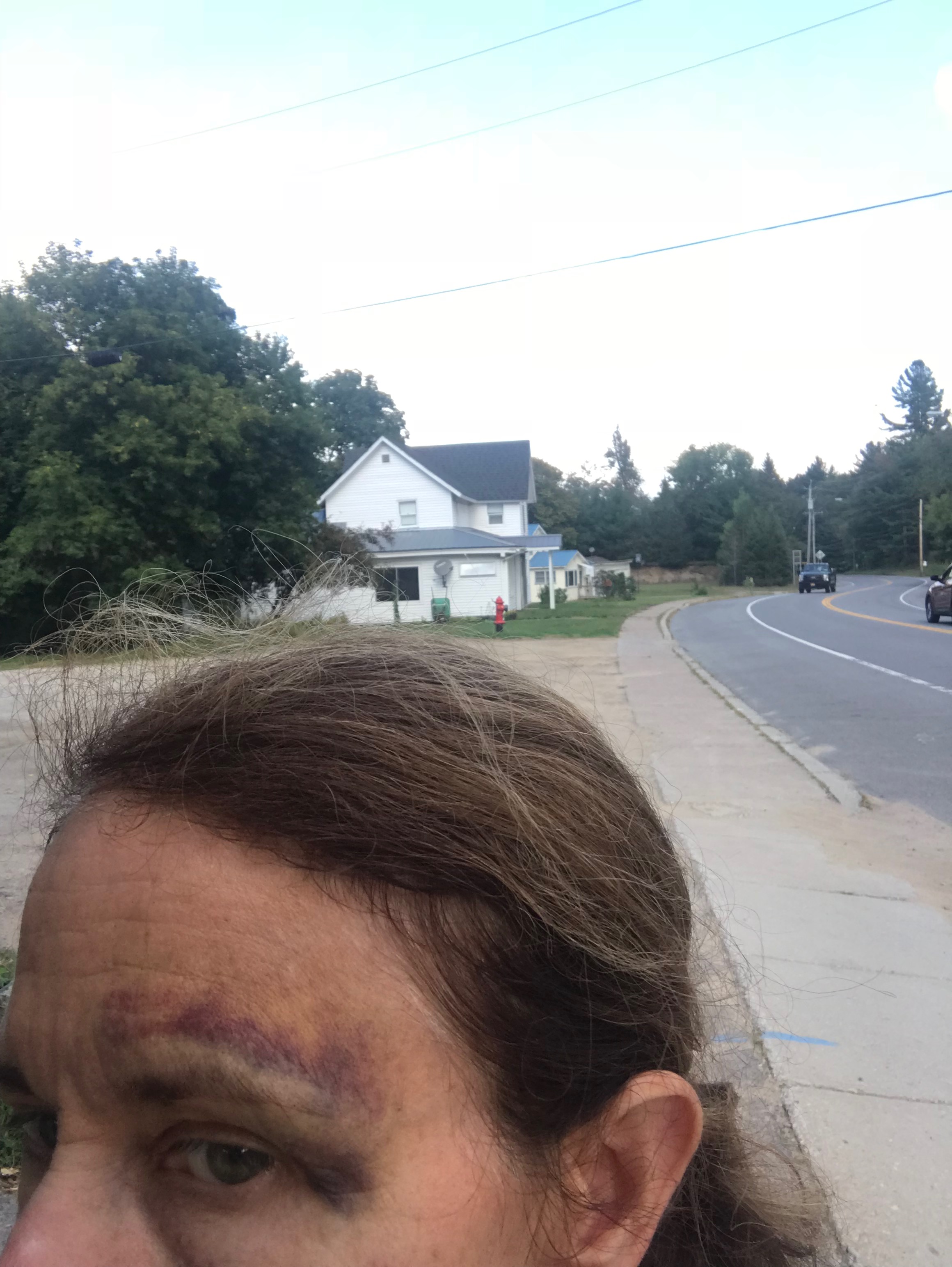
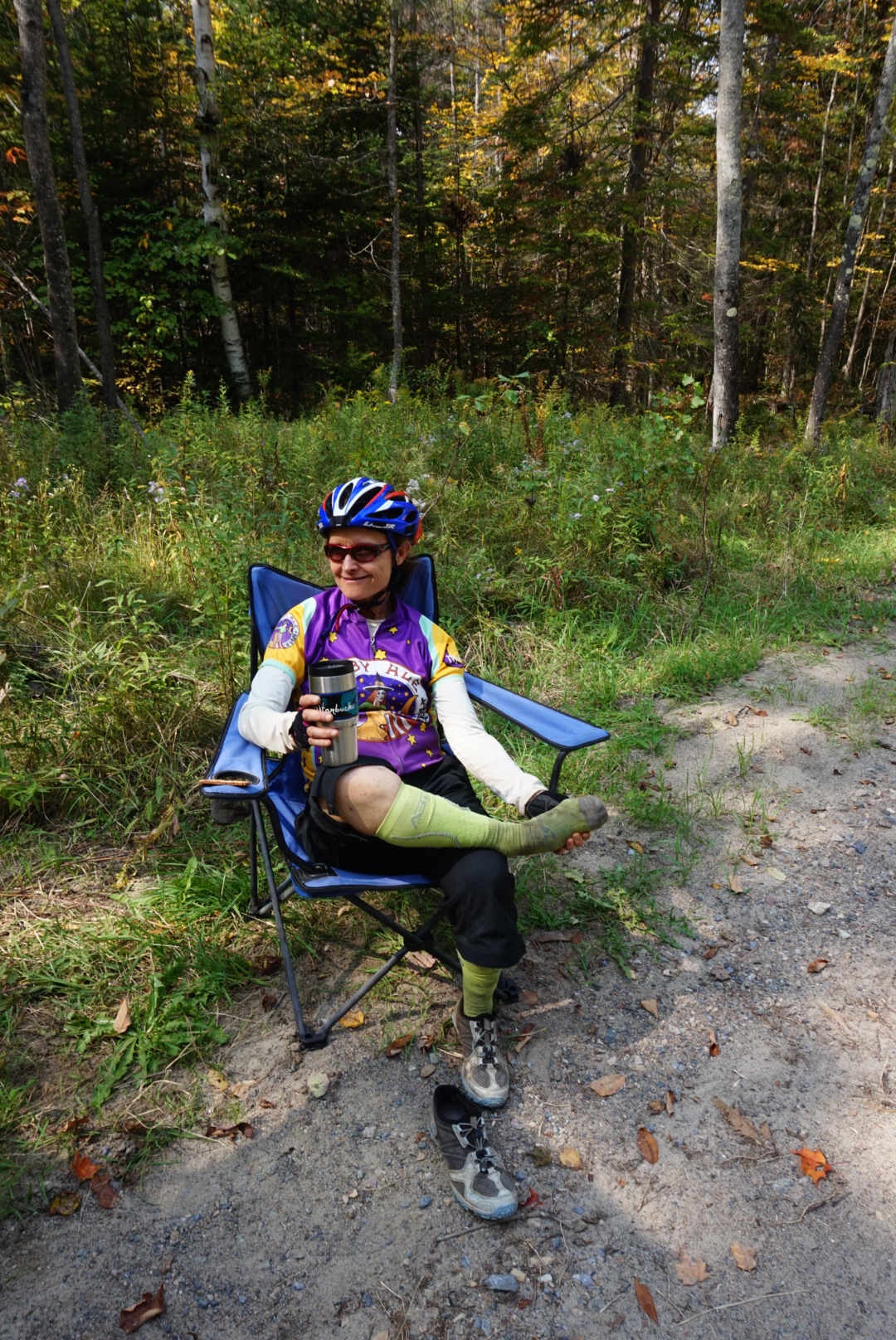
The Bad: I’ve developed blisters in a sensitive spot after riding “side-saddle” to take pressure off a cyst.
Day 4: I stay too long at the motel in Inlet and, as a result, don’t get very far on Day 4. I take a nap in a camp spot shortly before Stillwater and then stop at Joe & Marion’s hotel for dinner. I ride in the dark for a few hours and then sleep some on the caretaker’s porch at the Soft Maple Campground.
The Good: I invent a “fix” for saddle sores & more that relieves all pain & discomfort for the remainder of my ride!
The Bad: Just seem to lose all energy.
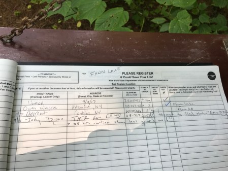
Day 5: My goal is Cranberry Lake for a motel but I know that is ambitious. I start off around 5 am and have an uneventful ride until I enter the woods going toward Long Level Road. There, I encounter a delightful surprise.
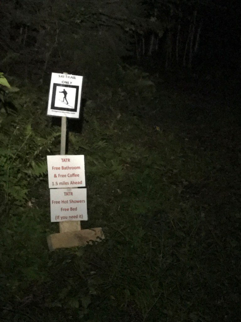
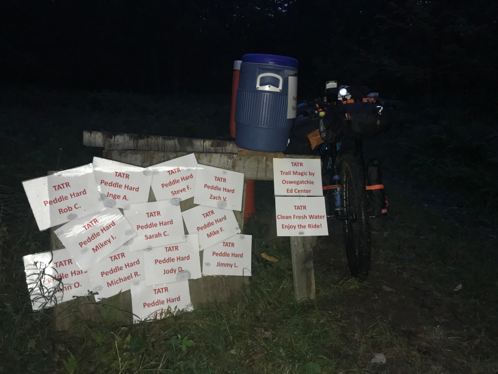
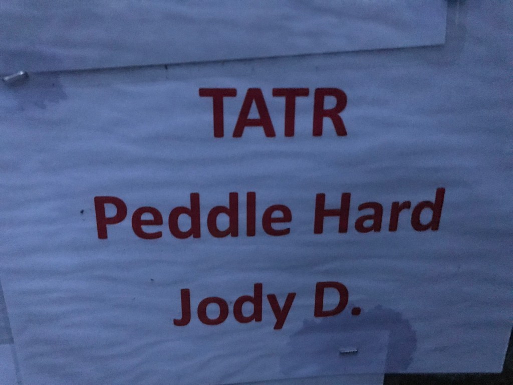
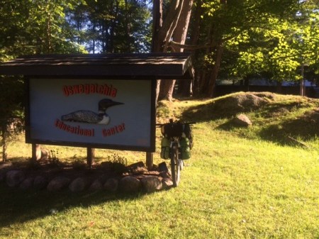
Folks at the Oswegatchie Educational Center had taken me in on Year 1, fed me, given me shelter and reoriented me when I backtracked after being wildly lost for 26 hours. Each year since, they watch the TATR map and I pedal slightly off course to say hello and have a cup of coffee with Bill, Robin & Todd. I never timed an overnight stay though since I felt I had an unfair advantage there over other racers. This year, Todd decided they should do something for all the racers and their signs in the woods say it all!
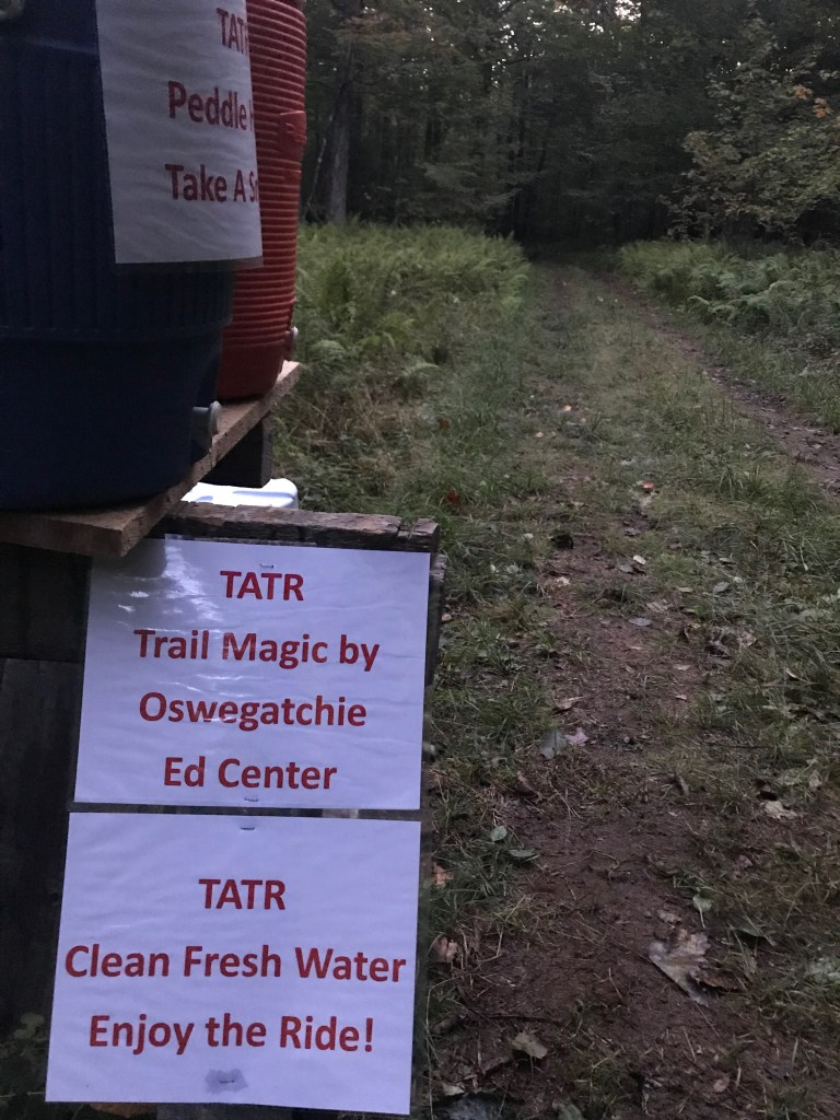
Todd meets me at the trail junction and asks if I’ll take the time to meet his daughter. I have a great chat with Hannah and hear all about how she thinks that she and her dad need to do TATR. It’s so nice to see teenage girls get inspired by a goal. After coffee with Robin and a chat with Bill, I’m on my way again.
The Good: The Oswegatchie folks!
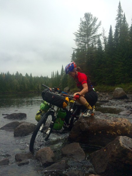
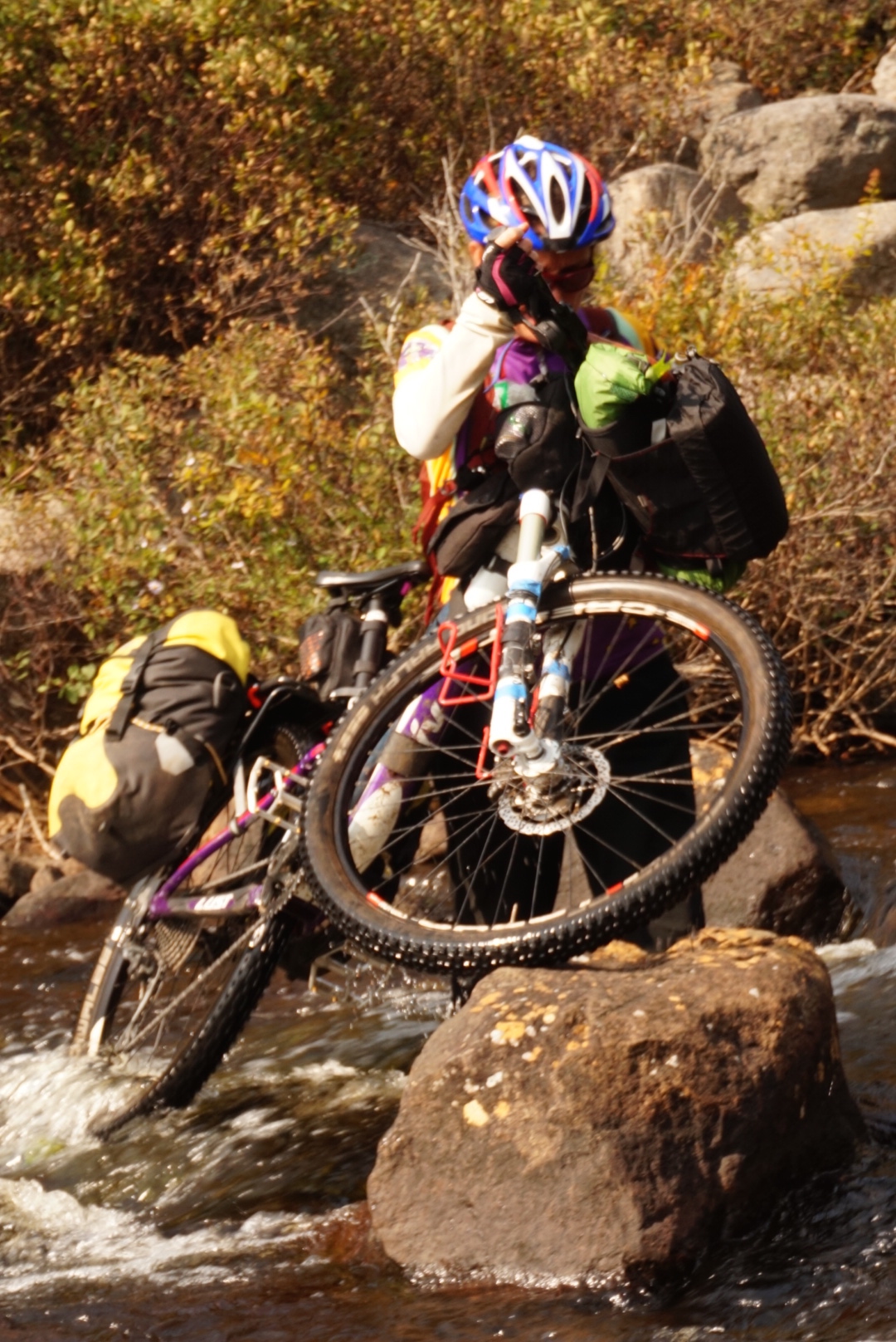
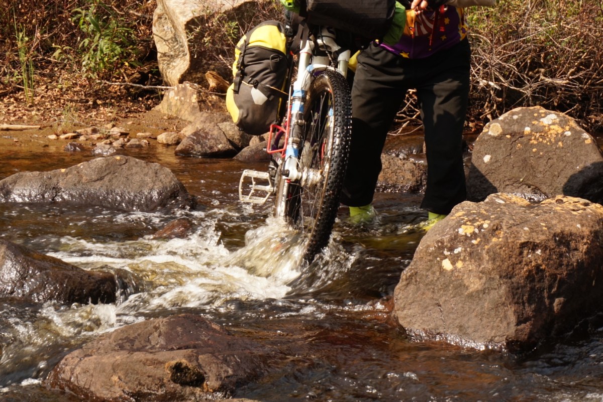
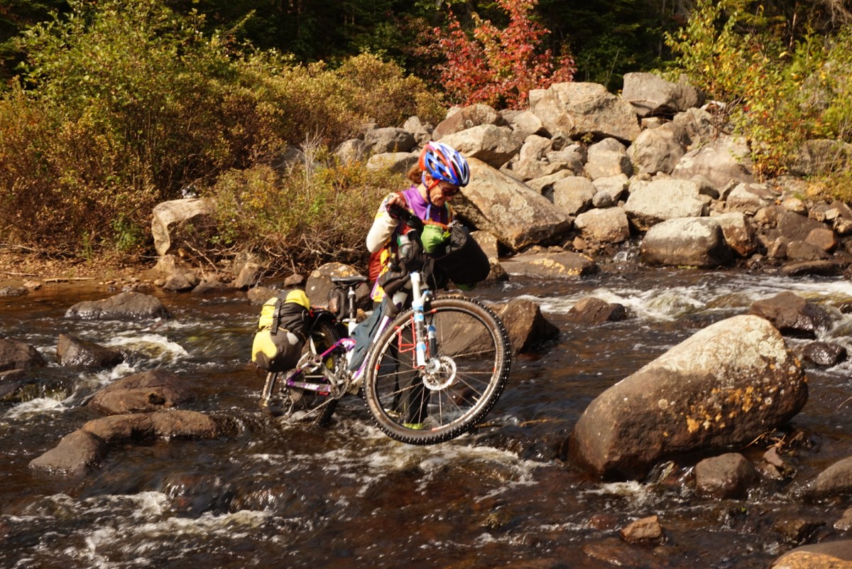
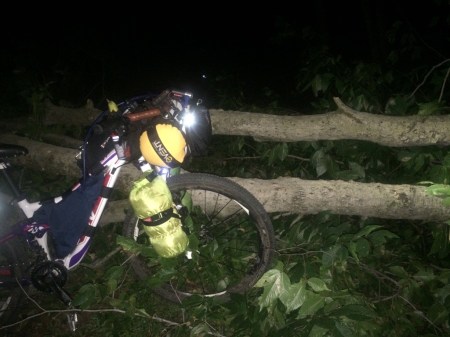
Con: A frigid night camping in Wanakena’s lean-to since I had no hope of making the Cranberry Lake motel. And, I nearly lost my bike to the Oswegatchie River on an eroded part of the Moore Trail.
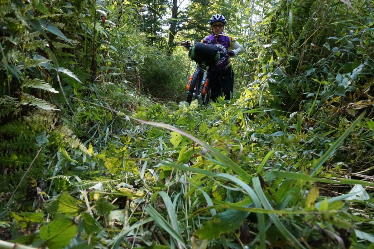
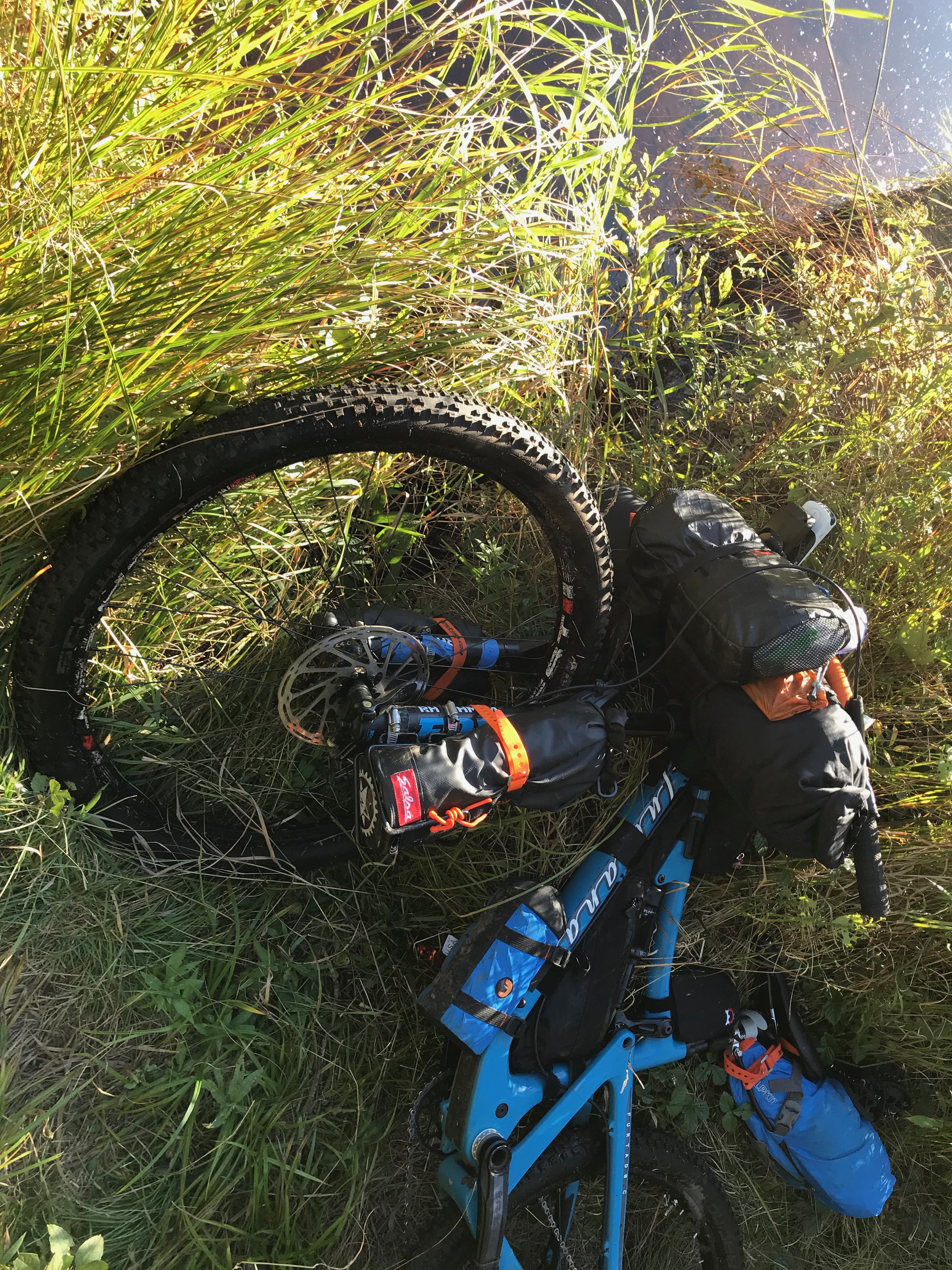 Disappearing trail under my front tire & my bike nearly drops to the river.
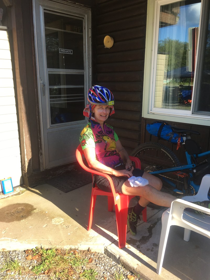
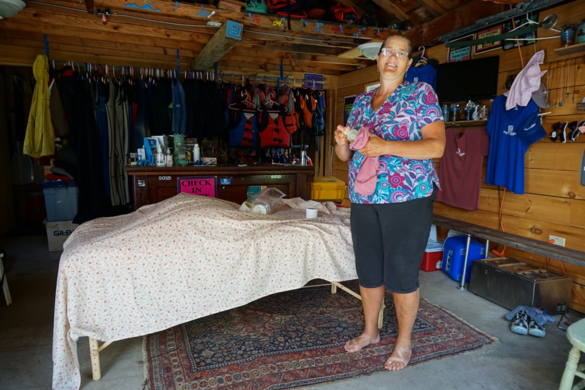
Day 6: I’m slow to leave Wanakena as always. I spend a great deal of time warming up me and my biking clothes in the heated bathroom in the village square. Although I have a good ride through the Peavine Swamp Trail and the Cranberry 50, I am spent and pedal off-course to the Stone Manor in Cranberry Lake. (Although Stone Manor sounds luxurious……)
Pro: Annette, a new transplant from Oregon, brings me a steaming mug of coffee as I’m repacking my bike in Wanakena.
The Bad: I am exhausted after this 11-mile day and bemoan the fact that I dropped out last TATR so I had to come back this year to finish. Mike Whiting’s FB post once again gets me through. “Take a layover day, or 2, or whatever you need.”
Day 7: I am up and out at 4 am. I need no layover day after all. In fact, I’ve slept more than 4 hours only twice in 12 days. I finally realize my sleep deprived state, which started 5 days before TATR, might be due to allergies & I start popping the Claritin.
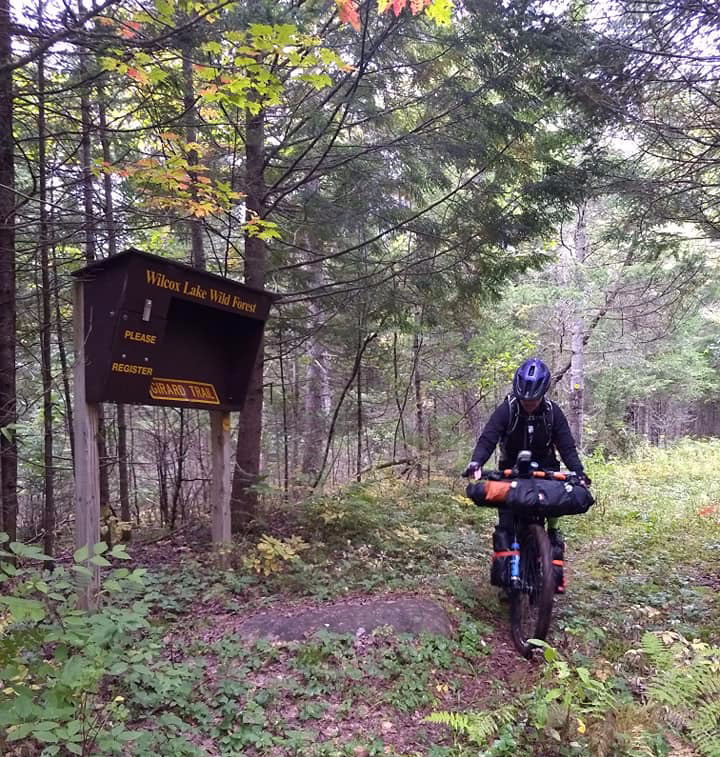
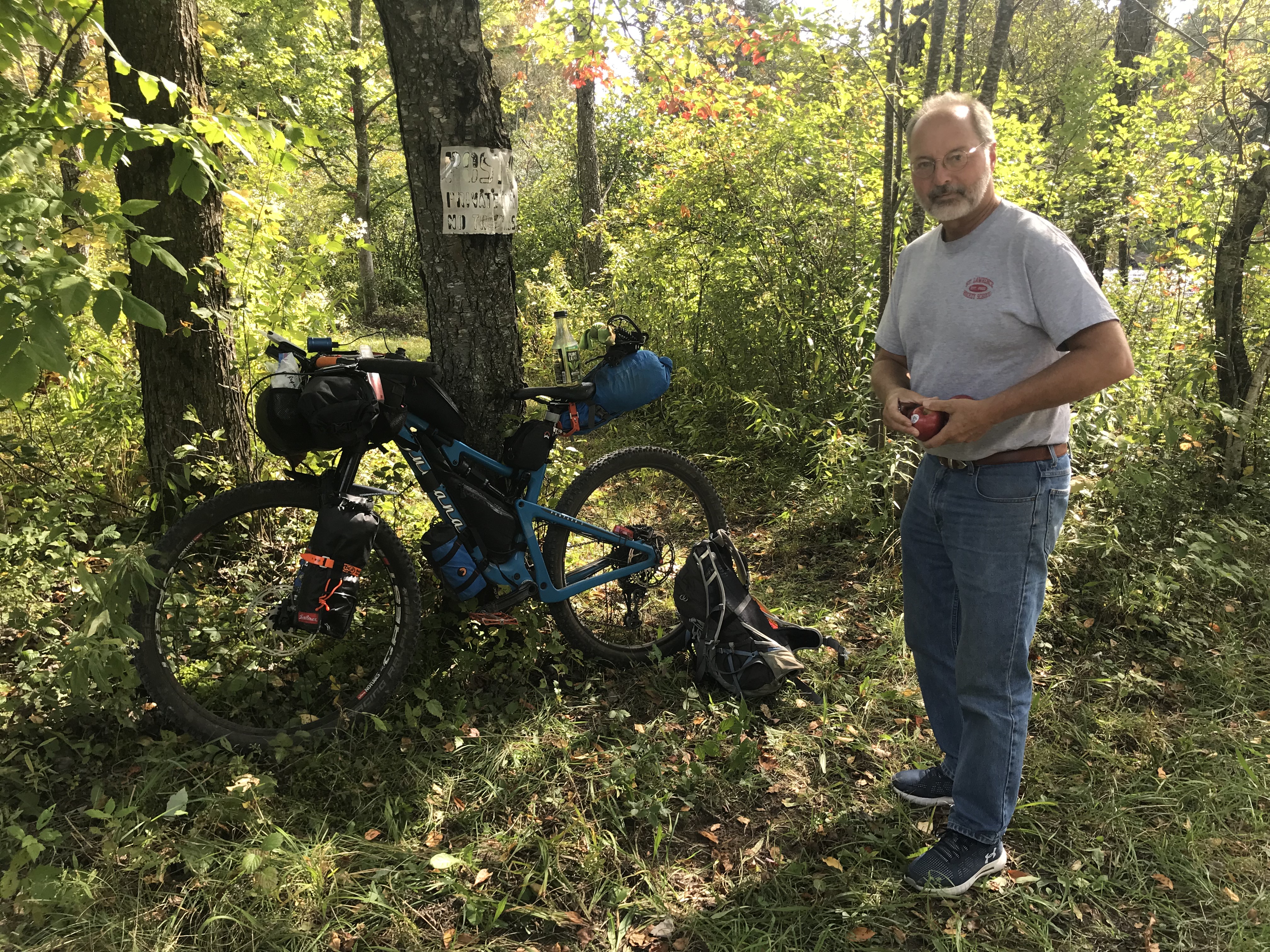
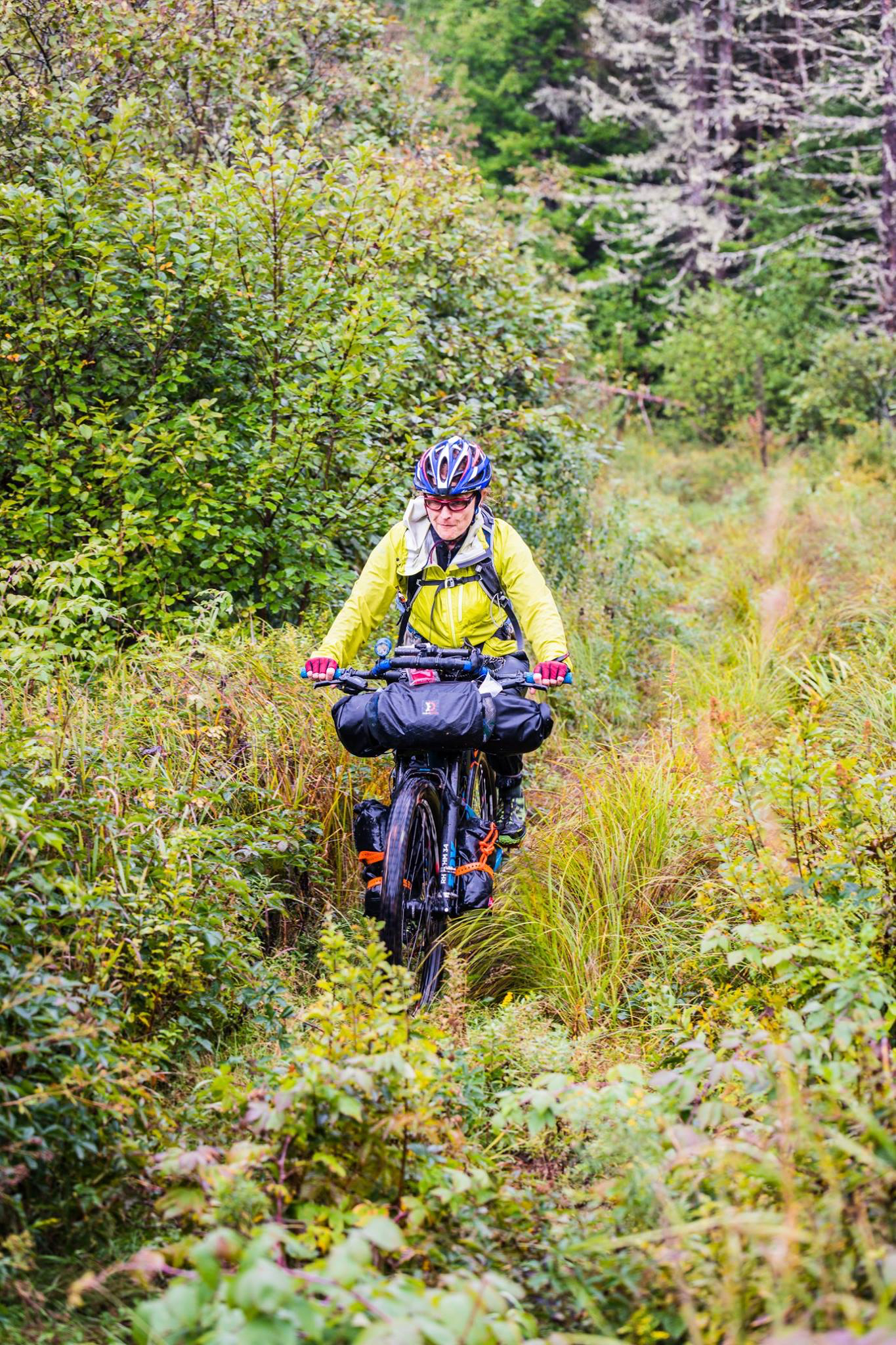
St. Lawrence County is doing a super job on their multi-use trail projects. The climb up into the Tooley Pond Easement is so much easier without all those chunky rocks. Of course they’ve added a few barriers that make it very tough for a short girl to hoist her bike up and over!
I don’t need to filter water in the Tooley Pond tract, and I soon meet Shirley & her partner just off Rt 56 who fill all my water bottles for me!
As I eat my chicken sandwich in the Cedar Bar & Grill, I hear locals talk about a bridge being closed. As I listen, I have this vague thought, “That can’t be my bridge….” I never ask. I just leave and keep riding. Even when I turn down the 2.3 mile Jones Road and see the warning signs, “Bridge Closed, local traffic only,” I’m thinking it must be some little bridge over a culvert.
As I near the bottom of this incredibly steep hill, I know. I start looking at the river for a place I can walk across with my bike in case I can’t get around the barrier. Well, I can’t get around or over the 6’ wooden barrier nor would I be able to hoist my bike chest high to clear the concrete barrier that comes next. And the river is too high to cross.
I start pushing my bike back up that hill from hell, thinking that if there is no other bridge in the area, I might be forced to go back south to Rt 56 and around on the major roads. I want to make it to Deer Valley Trails for a night in a cabin so bad, but hopes of a warm bed are dashed. I’m growing really annoyed that no other racers have alerted me to the bridge closure.
Then, down this closed road comes a truck, the first vehicle I’ve seen in hours. There’s been absolutely no traffic since Rt 56. Rick, a local guy with a camp on the road, tells me that DOT surprised everyone that morning by closing the bridge down.
After I tell him about TATR, he says he’ll get my bike over that barricade, no problem. Back down the hill we go and as he’s balancing on the 6’ wooden barrier and I’m trying to boost my handlebars up to him, a car drives up to the barrier on the opposite side. At first, I think it’s a random guy who is walking across to help Rick get the bike onto the concrete wall, but then I realize it’s Dan, a friend from Canton!
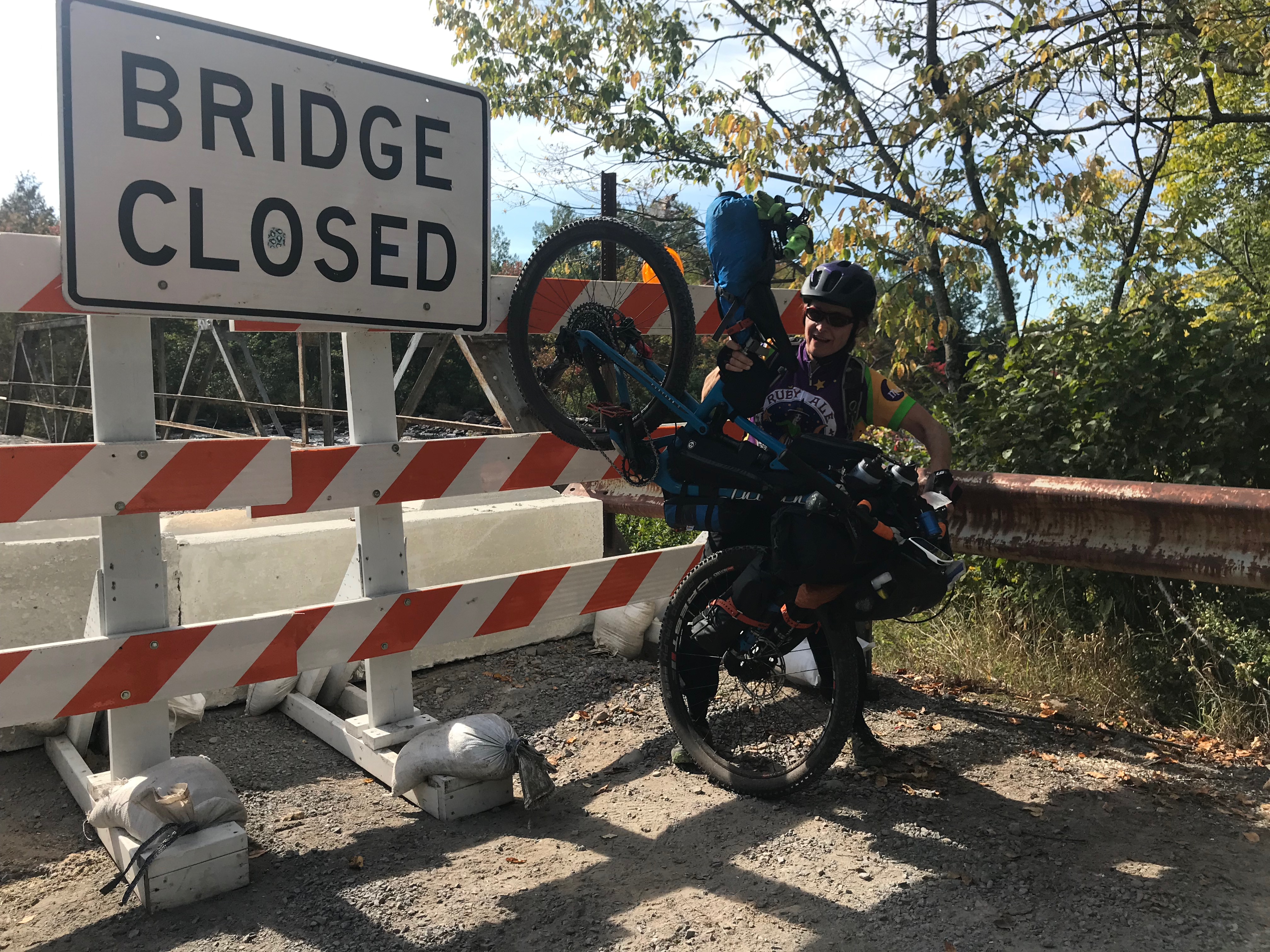
Rick & Dan easily get my bike up and over the barriers on the far end of the bridge. I manage to get my pack and myself through the wooden slats, because I don’t have the energy or the stability to climb up and over. Dan had been tracking me on the map and drove out to say hello and deliver a snack. The timing, for both of these guys, could not have been planned! Somehow, in my most trying moments on TATR something, or someone, falls out of the sky in my favor.
The Bad: Nearly have a meltdown at the bridge over the Raquette River.
The Good: Meltdown averted and I do make it to Deer Valley Trails.
Day 8: Although I know getting to Wilmington will be a really long day for me, I can’t seem to move too fast. At 4 am I’m thinking layover day. I pack anyway and stretch a little. I sleep again from 6 to 8. At that point it’s, “Maybe I can ride today.” Then, Mike surprises me with Julie Hudson’s homemade biscotti and some outstanding coffee.
There isn’t just one big “Good” of the day! I mention to Mike that since my last mechanical (that I had fixed) in the woods going into Star Lake, my Granny gear will not hold. Voila! My Granny gear is back in business. After over 150 miles without it, what a treat to have Granny back! Just in time for the climbs enroute to Wilmington!
A few miles down Blue Mountain Road, a guy and his Golden Retriever stop to talk bikes and give me a GoMacro Sunny Uplift bar—just the boost I need. Then as I’m filling water bottles in Meachem Lake Park, Pat and Cheri from Ottowa make me a cup of coffee in their Sprinter Van! As we part, I let them know that if I make it to Wilmington that night, I will owe it to them and that cup of coffee! Actually, I owe much of my improved riding to getting Granny gear back.
I fly around Debar Mountain. I ride faster than I ever have. Although I left Meacham Park at 4:00, by dusk I’m on the snowmobile track that will lead to Thatcherville Road. I stop at the spring for water, and am grateful that I’ll be doing the climbs that come next in the cool evening. A few hours later, Shannon surprises me and appears in the dark for the second time on this TATR – the first sign of life I’ve seen since the afternoon.
My intention (or hope) is to make it to Wilmington but I feel a few twinges in my legs around 11:00, so I opt to camp at Franklin Falls and save the climb up Gillespie Drive for the morning. Pat and Cheri’s coffee got me that far!
The Bad: There is hardly a downside to this day.
Day 9 is a brutally hot one. While it still takes me all morning to get to Wilmington, I do appreciate riding Pour Man’s Downhill in the daylight. I remember well how tortuous that was in the dark last year. We stop for my grilled chicken sandwich at the A&W and we’re off again. The single track off Quaker Road is simply fun! After that though, the climbs soon begin and I feel myself sliding downhill physically.
I need a nap on the climb up Stylus Brook Road. 20 minutes helps but I still drag through the afternoon. When it becomes clear that I don’t have it in me to make it to Westport for a motel, I choose to pedal 2.5 miles off course to a motel in Elizabethtown.
The Good: Finish my round of antibioitics for the cyst.
The Bad: Don’t feel instantly better like I had hoped.
Day 10 starts with an easy ride into Essex where Shannon leaves me. Although closed, the Essex Tavern is so inviting! The owner makes me some coffee and I continue on to Westport. I resupply and pedal up over Mountain Springs Road.
The Good: Jellystone Campground gives me the pavilion to sleep in so I don’t have to pitch my tent!
The Bad: I don’t make it up Blue Ridge Road to camp as I had hoped.
Day 11 is planned to be an easy half-day to North Creek with a half-day recovery. Instead, this is TATR Hell Day. My pre-dawn ride up Blue Ridge is fantastic. I feel good, the climb is manageable, the sunrise is beautiful and the colors are looking good.
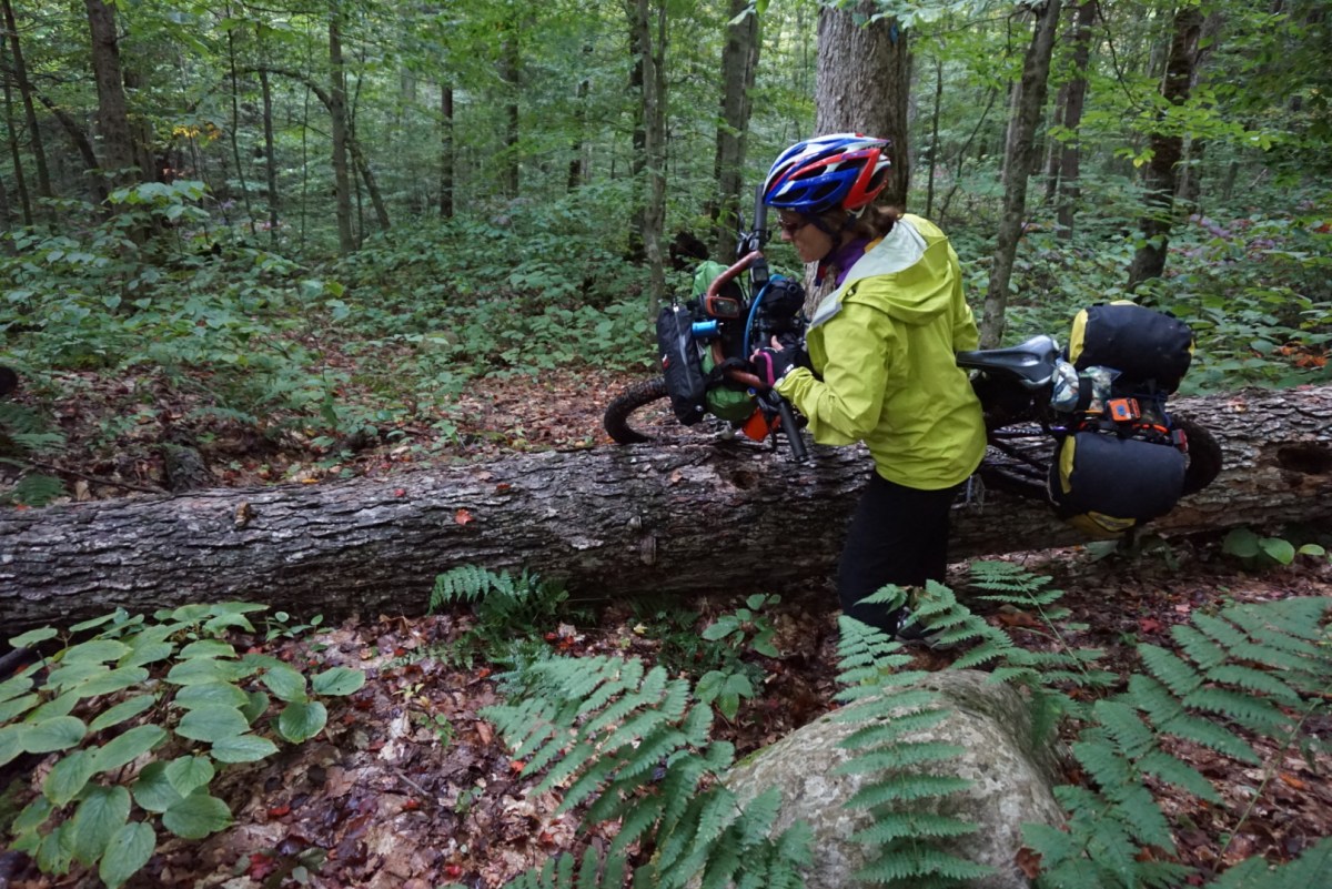
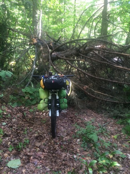
I had already made the decision to skip Lester Flow and bike the alternate route. Word from a much faster racer is that the blowdown in Lester Flow is horrendous. Solo, I would need to lift my bike chest high in order to clear downed trees. I’m not physically capable of that but my strong suit has always been to find a route around blowdown that I can’t get over. That isn’t an option in there this year.
I know that I could be stubborn and go try the regular route anyway. A part of me wants to do just that, but it wouldn’t be putting only myself in jeopardy. It would place my would-be rescuers (Mike for sure and possibly others) in harm’s way.
So off I pedal onto the alternate route which, of course, includes tortuous climbs in place of the woods. Somewhere on Route 28N I bonk. However, I don’t realize that at the time. I am close to getting sick, my head is so weird it’s scary, and tears are rolling down my face. At that moment, Mike drives up to say hello. My TATR timing….. He has me rest, drink a recovery drink and eat a bar until I feel okay again. I think I’m okay.
I continue on to my turn toward Olmsteadville, which will lead me to the regular course again. Unfortunately, I hesitate a mile or two later when I see the Olmsteadville sign pointing straight. I get distracted by a pink road to the left on my Garmin and a familiar road name two turns later, the Irishtown Settlement Road (a dreaded name from the regular route). So I turn.
A car stops and I ask the driver if the Irishtown Road goes to dirt. It doesn’t so that eases my mind. The driver tells me the best way to Olmsteadville is behind me. My response is, “I’m on a really rugged mountain bike race and they make every route really hard.” I’m becoming convinced that Mikey (the race organizer) has made the alternate route really tough and this is the way to go.
That driver leaves and then I try calling other riders to ask whether I’m on track. No answers. I have service so I check Trackleaders, which shows I am right on the alternate route. I realize now that my tracker hadn’t pinged yet and if I had waited, the map would’ve shown me off course.
I have no recollection that I had written down the alternate route directions, had recited them, and know that Olmsteadville is ONLY a 3 mile ride from Route 28N. I see now that bonking means your brain is scrambled and you have difficulty with the thought process.
So off I pedal for many many miles of tortuous climbs. (I still haven’t had the nerve to look at my tracker map to see how many extra miles and extra feet of elevation I climbed.)
At one point I realize there are ruby red lines on my Garmin (the regular route) and figure the alternate route would hook me into that. I remember thinking, “mmm….is my route pink or ruby red?” My legs are feeling pretty good so I keep going. When I hit a dead-end road, I stop to get directions to Olmsteadville. Kindly folks give me the best direction and I’m on my way again. I’m starting to tire.
Then, a Subaru pulls over in front of me. As I try to pedal around the car, Derek Snyder climbs out saying, “You’re tough to track down!” I remember thinking Derek sounded pretty worried …. or maybe exasperated…not sure. Derek lives in Olmsteadville, so my hero Mike had called him, directed him to the online map and asked him to get me back on course.
Derek loads my bike in his car and returns me to the proper route (legal if you return to the course where you left it). He follows me into the convenience store where I need to buy food. He is not impressed with the selection and is concerned with my diet. Derek says he’ll go home, make me some good food and bring it to me. My response is, “Well, how long is that going to take?” My gosh, I was obnoxious!
He says he’ll be at a corner by a church along my route in 10 minutes and impresses upon me that I need to stop there and wait.
I heat up some soup at the store and take off. I pedal 5 minutes and then realize I’ve forgotten to fill my water bottles so back to the store I go. As I approach Derek’s corner, I see him pacing back and forth across the road—I’ve probably taken far more than his 10 minutes. He has me eat a few bites of the most delicious sandwich I’ve ever had. Just a little spicy, amazing bread….but I have no idea what is in that vegan sandwich. I only know I needed that! Derek puts the rest in my pack and reviews the next turns that will get me to North Creek, stresses the correct turns, and off I go.
This vegan sandwich was the best. Thank you, Derek!
I arrive in North Creek around 4 pm I think. So much for a short ride and part recovery day. Instead I am so exhausted I can’t sleep. After tossing and turning a bit, I realize I’ve forgotten to get avocados and bananas that will help get me through the next day. I run out and hop on my bike to get to the supermarket before it closes and before it storms. Once back at Heads ‘n Beds Hostel in my comfy bed, my mind seems to clear and I’m able to review my mistakes of the day and how I will continue the next day. I realize at this point that I had probably bonked.
The Good: People love me and watch out for me!
The Bad: Bonking
Day 12: I have an earlier start out of North Creek on Day 12 than I ever have before. I eat on a strict schedule, not ever wanting to bonk again and certainly not on the remote stretch I’m traveling that day. It is a joy to pedal through the Bear Pond section in the daylight.
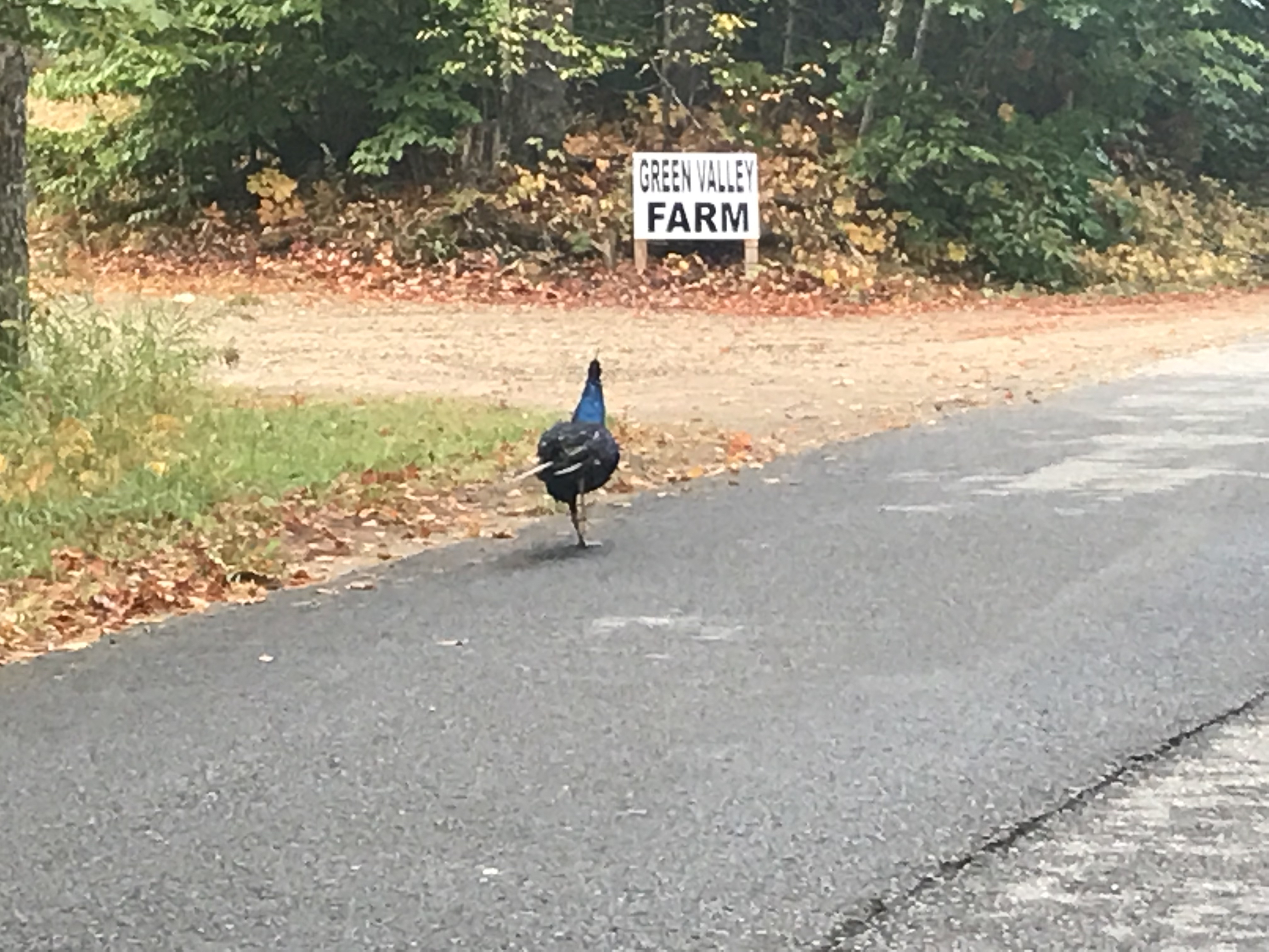
Took me 3 races to get a shot of this peacock on the back roads.
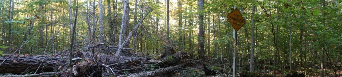
At 4 pm I’m on the Arrow Trail, well-nourished and carrying plenty of water. I ride the Arrow Trail in record time for me: 2 ½ hours. I exit in the daylight. When I reach the “Stop – Barrier Ahead” sign, I whoop and holler, knowing I’ll get home tonight.
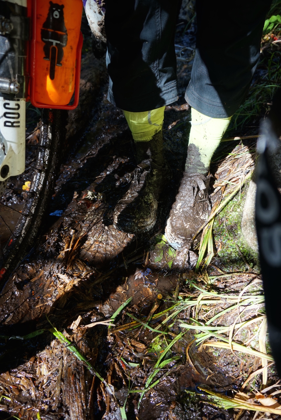
I enter the last remote section of TATR, East Stony Creek, with a little daylight to spare. Again, I ride well and complete all but the last mile or so in record time. The trail becomes pretty rocky and technical and there are several “mud” crossings. I walk a good bit of that. I slide off a plank into the mud and the shoes and socks I’ve so carefully kept dry all day are toast. I’m soaked from the knees down and it is cold. I struggle to get my front wheel out of the mud and nearly lose a shoe in it. Yet, I am ecstatic when I came out of the woods and hit pavement!
It is 10 pm, I’m so close to Northville but I am exhausted. I think for sure I’ll be walking up every last hill but somehow those hills are a lot easier than I had imagined. As I race toward Waterfront Park, blinding lights of an enormous truck are lighting up Main Street.
My dulled brain thinks, “Oh, did they get the fire truck out for me?” As I race closer I think, “That truck is coming right at me!” Then I finally realize the truck is parked and I need to move around it—fast. It would have been so bad to crash into a tow-truck just feet from the finish line!
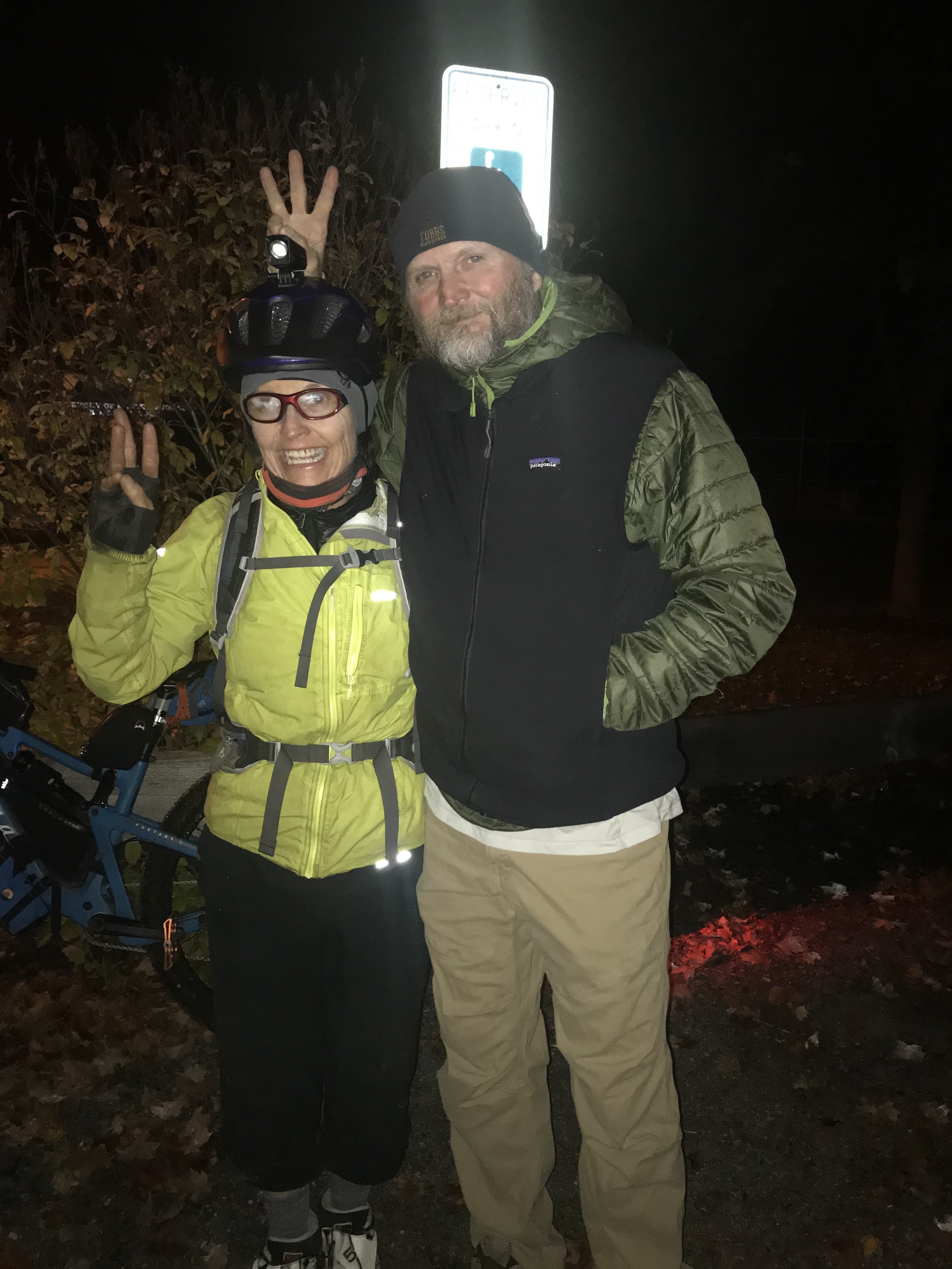
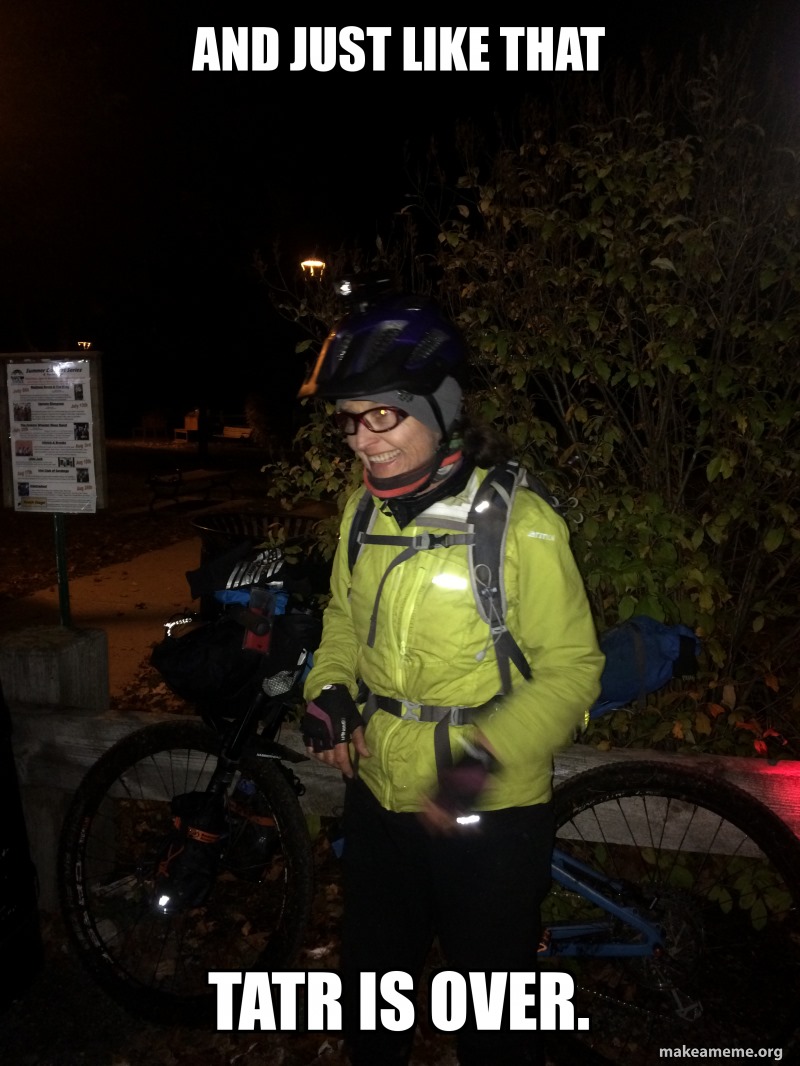
Even though it is close to 11:30 when I pull into Waterfront Park, pitch dark and freezing, there are still 5 wonderful people cheering me in. All I can think, all I can say is “I’m done. I’m TATR done. I’m a 3-time finisher.”
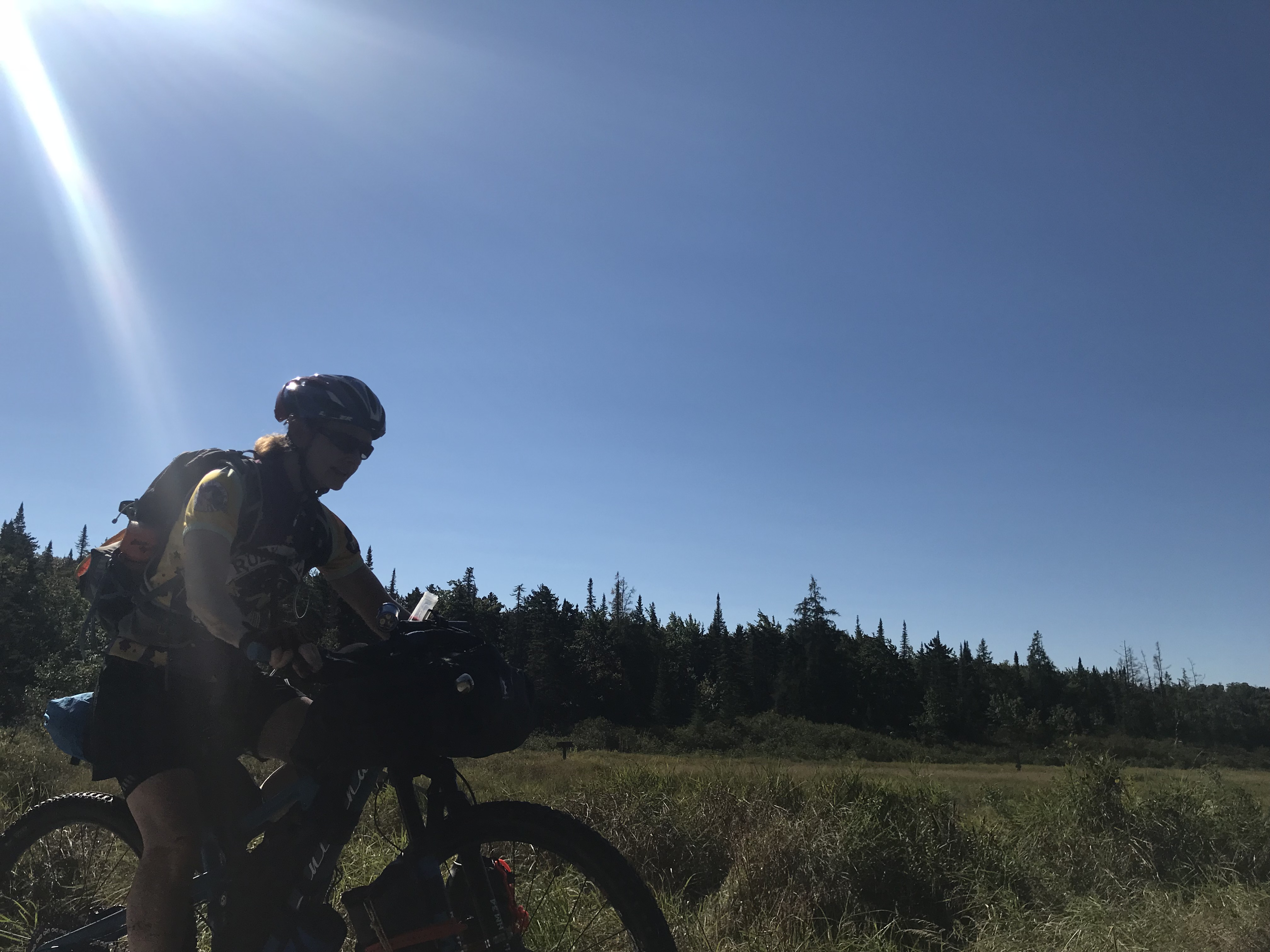
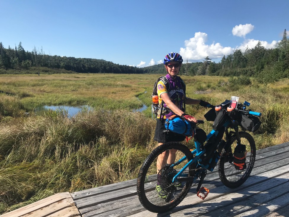

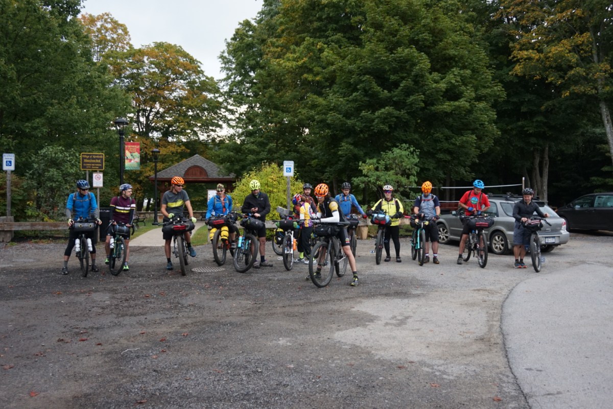
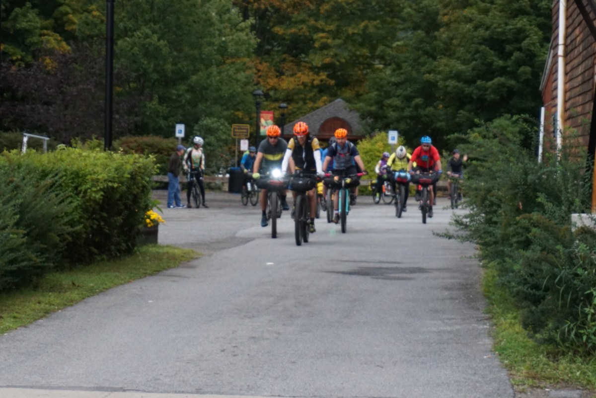
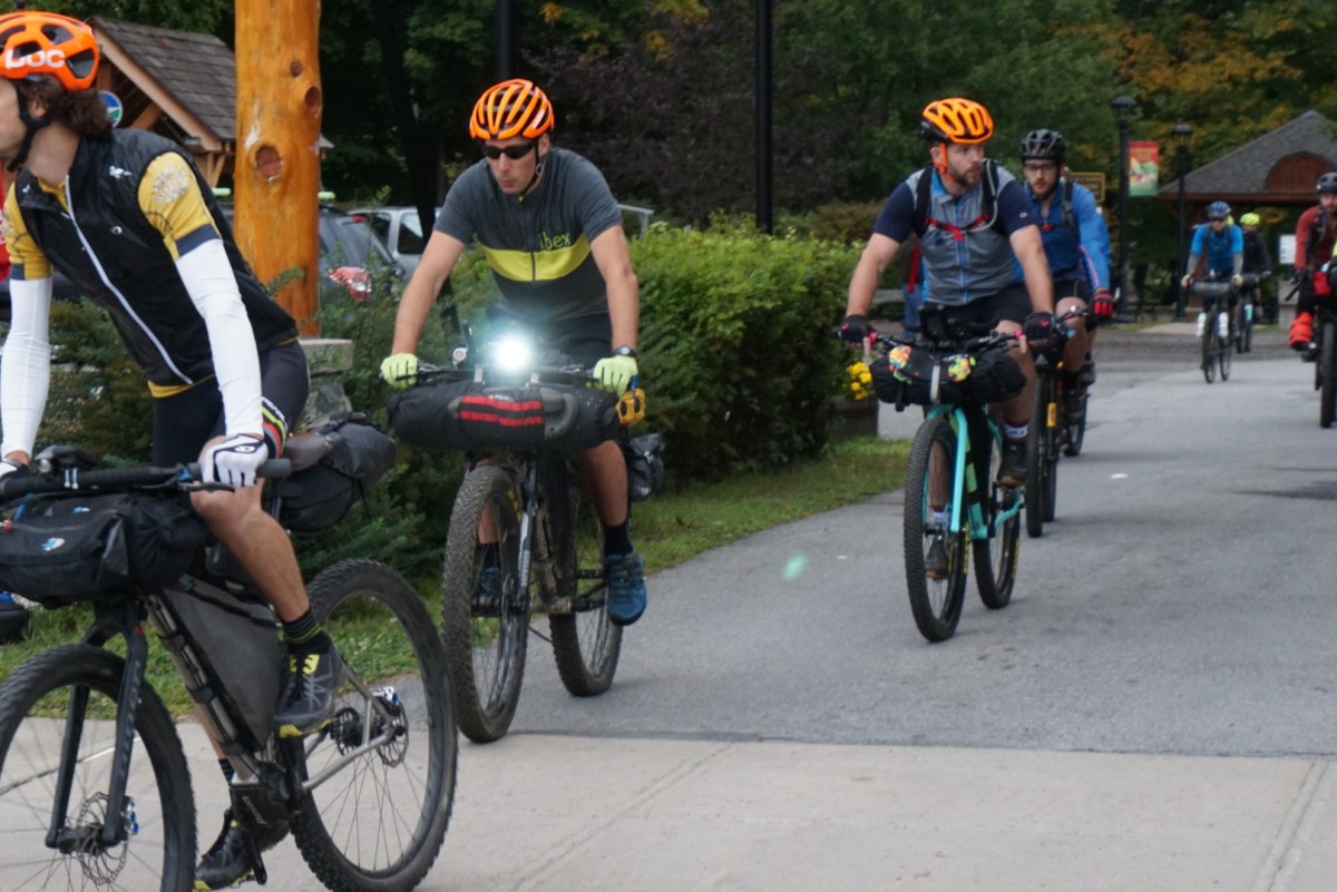
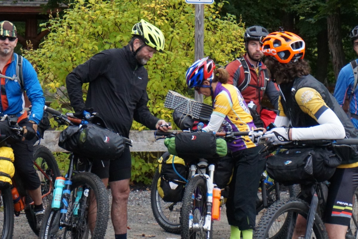

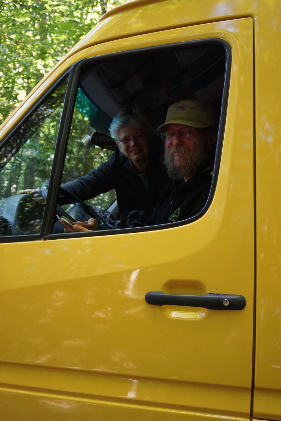

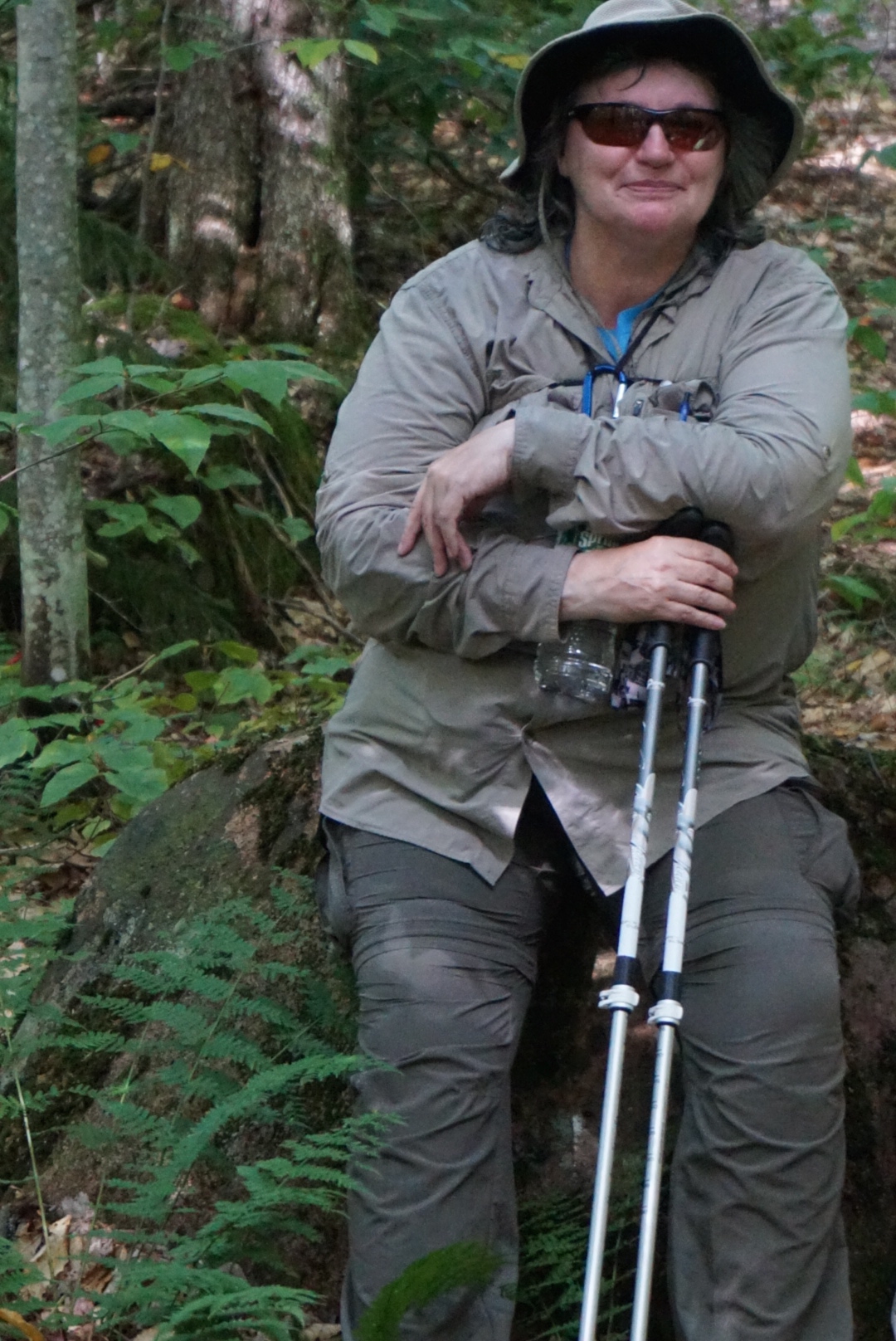
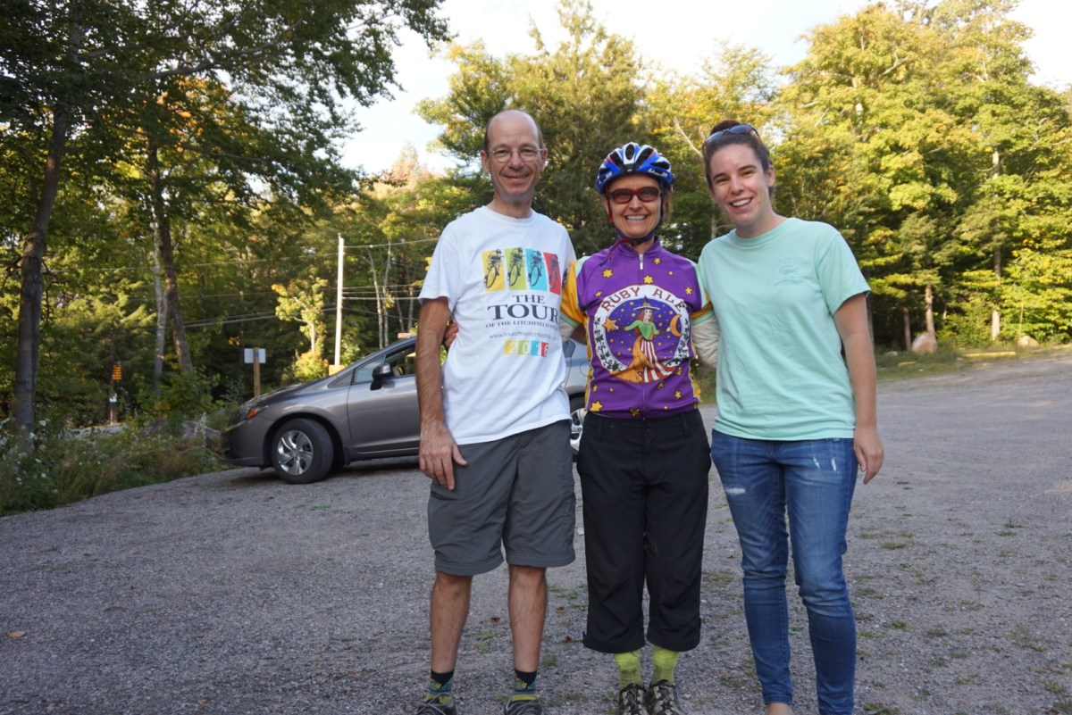
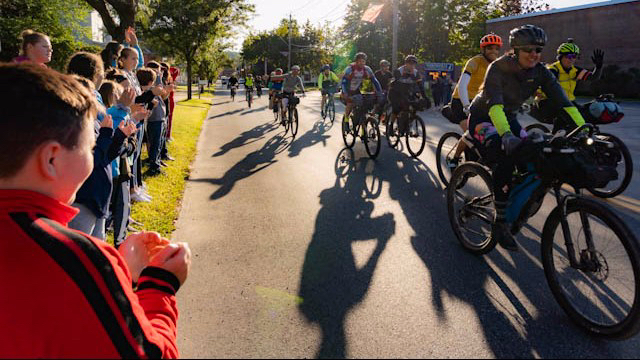
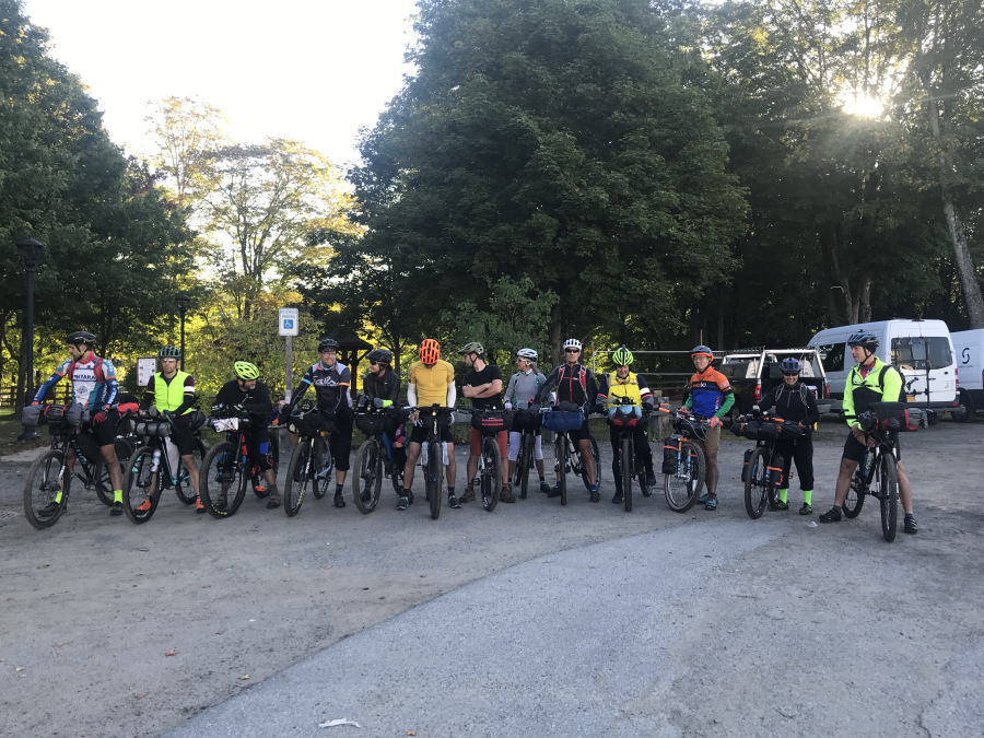
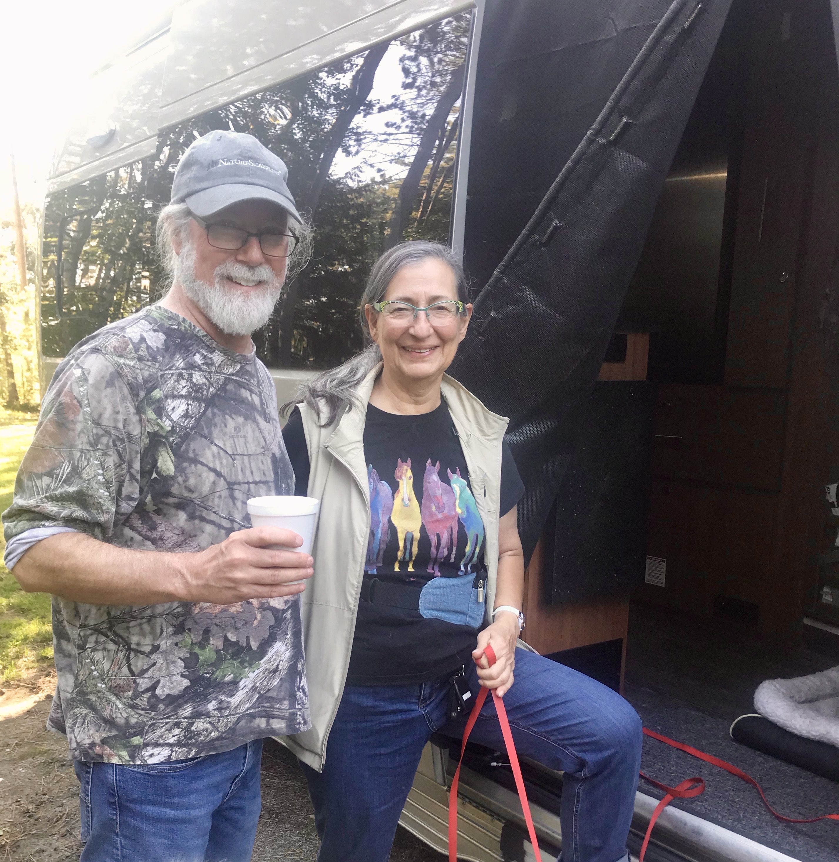
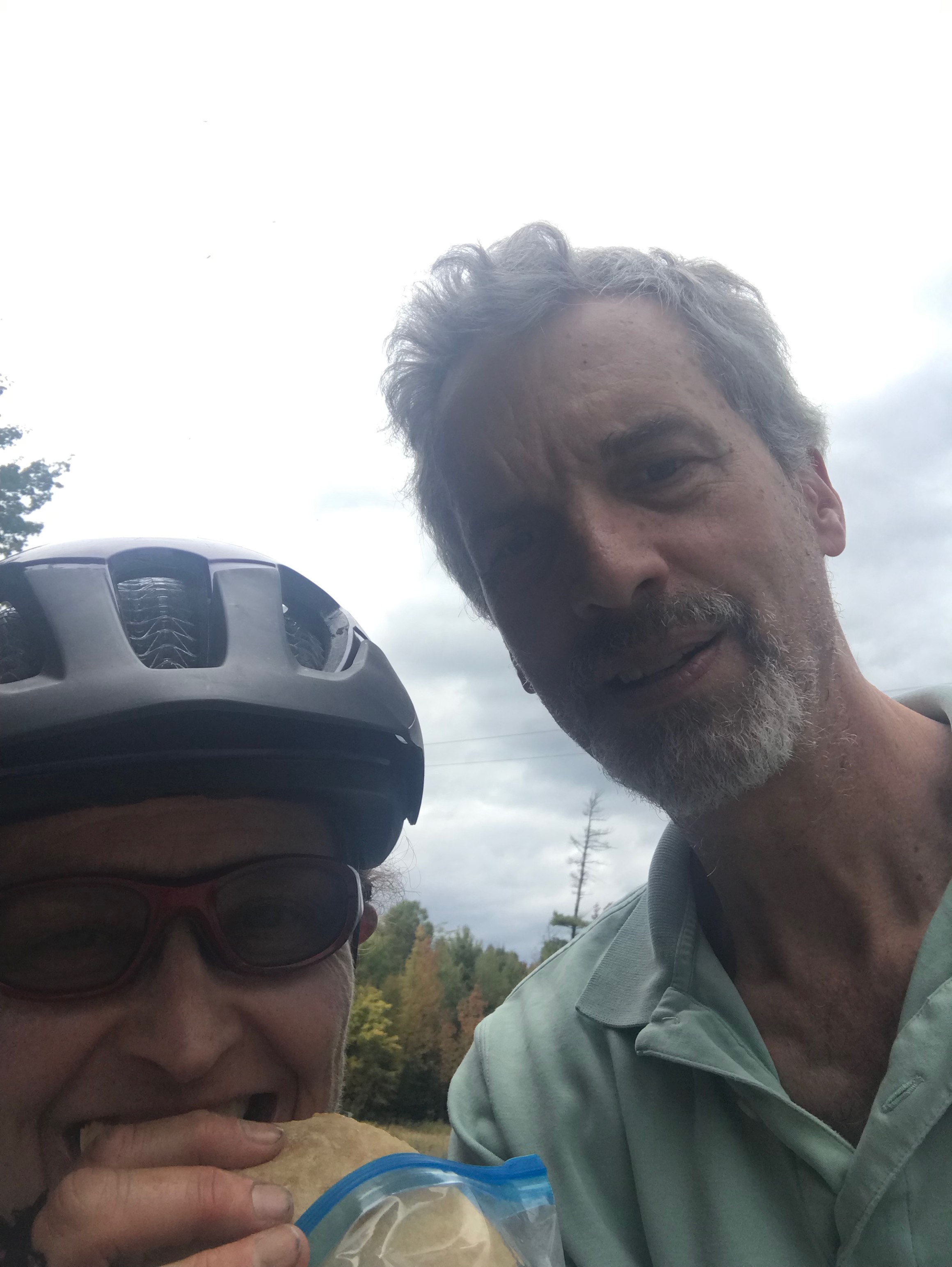
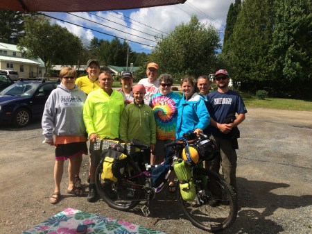
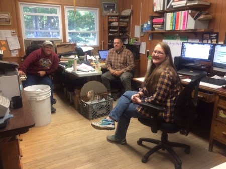
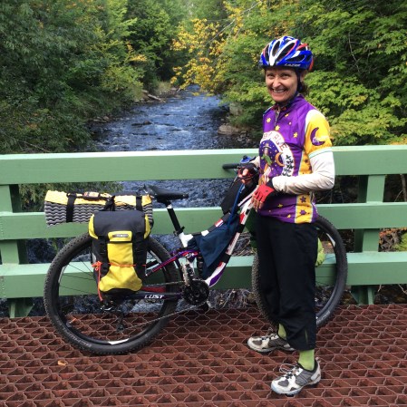
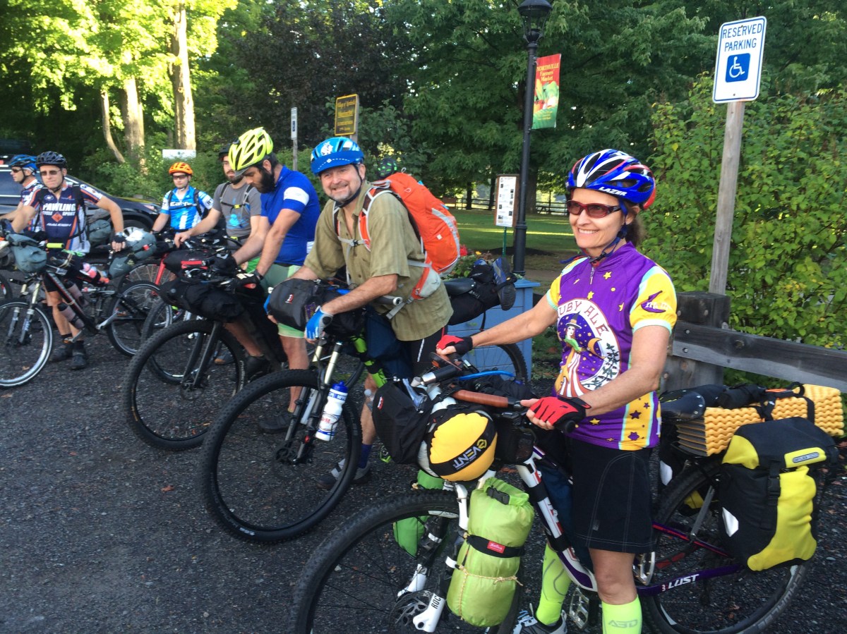 At the start line
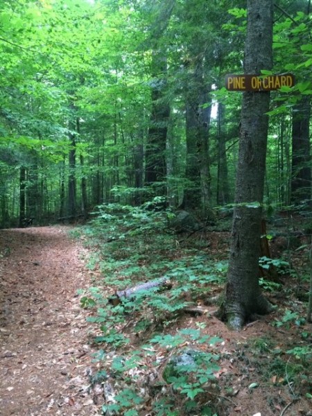

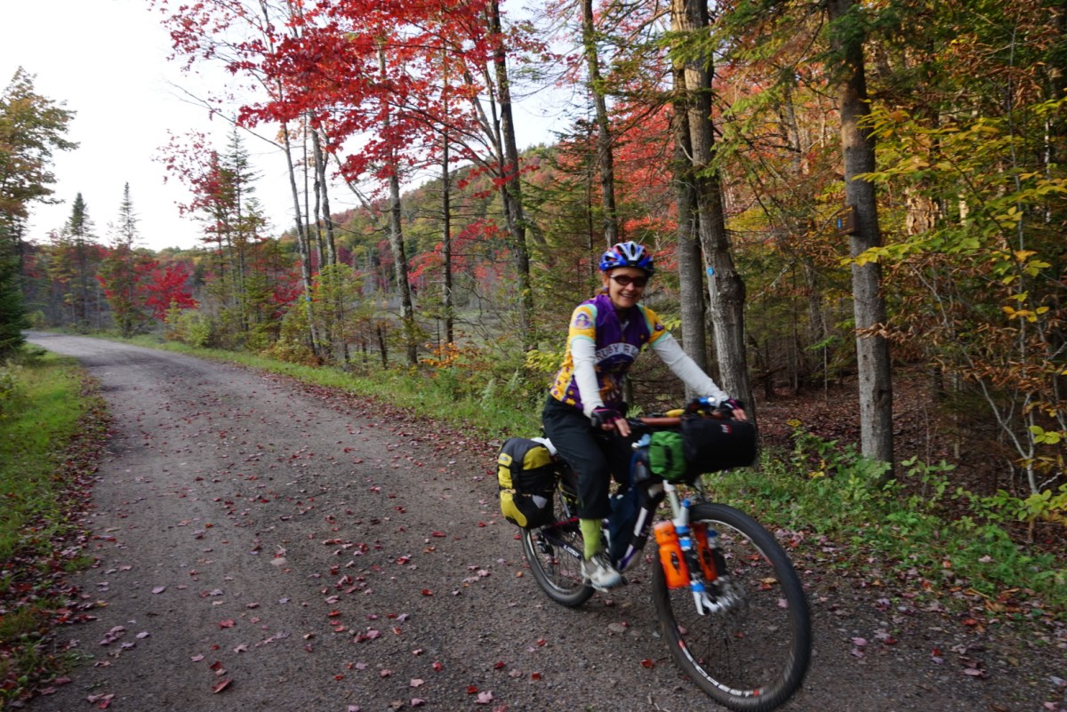
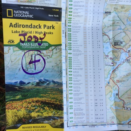 Map 4 out of 5